- 7.3 miles round trip
- 2930 feet total ascent
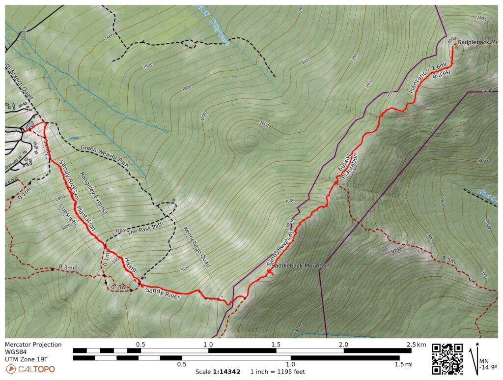
- Link to my hiking route: https://caltopo.com/m/CNR87/NEJDNPN67NC8J318
View my Disclaimer and General Information about Hiking.
My second hiking day in Maine again had amazing weather. It was the perfect day to hike the open ridge of Saddelback and The Horn, checking another two peaks off on my NE111 list.
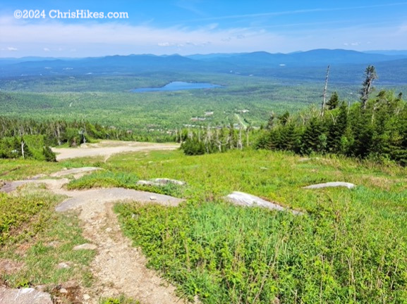
I parked at the Saddleback Ski Area, walked past the ski lodge, and started up the mountain on the gravel road near the chair lift. A herd path branched off to the left of the gravel road, leading me to the Gray Ghost ski trail. The herd path kept me in the middle of the ski trail, hiking straight up. Some reviews of this hike commented on how steep the ascent is. By the numbers, the 1500 foot in 1.5 miles ascent is typical for a 4000-footer, especially to someone like me who is used to hiking in the Adirondacks. It felt steep because there are no switchbacks and I could see where I was heading up the open ski trail. I took frequent breaks and enjoyed the view looking down the mountain.
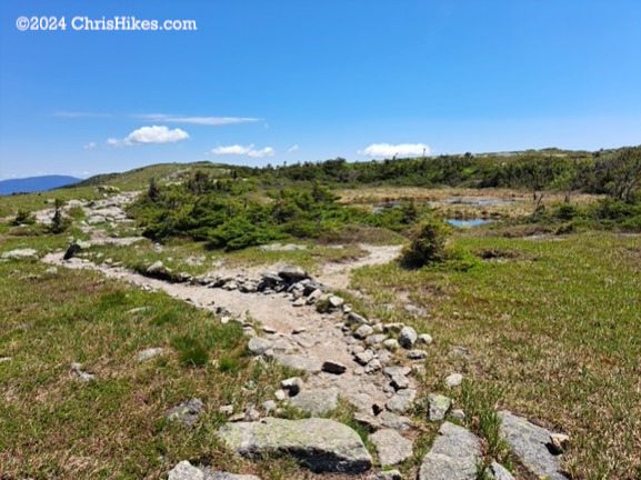
At the top of the chair lift I made a slight left turn to take the Tri Color trail closer to the top of the mountain. When I reached a small hut with communications equipment I turned right onto a hiking trail. There is a sign here indicating the trail is leaving the ski area. I walked through short trees and quickly went above tree line, passing a small pond before reaching the junction with the Appalachian Trail. I turned left on the AT heading northbound and saw the summit of Saddleback nearby.
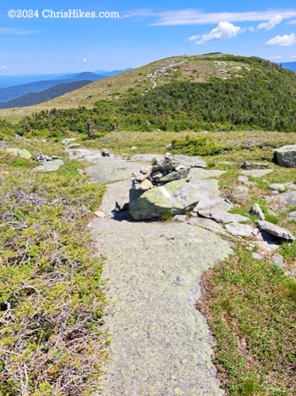
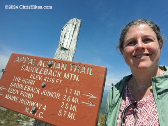
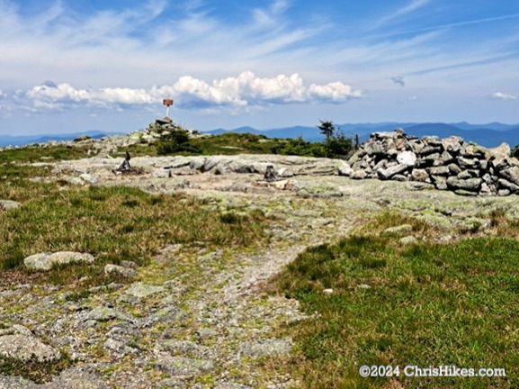
It was an easy walk on the AT up to the summit of Saddleback. The summit has a sign and a line of piled up rocks that people can use to take shelter from the wind. This was a beautiful day and I enjoyed a snack on the summit while I took in the views in all directions.
As I started my hike toward The Horn, I enjoyed viewing the alpine vegetation including pretty flowers. The descent from Saddleback was slightly steep in some areas, but was overall a straightforward hike.
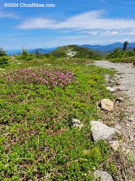
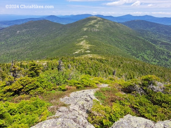
In the col between the two peaks I looked back at Saddleback and forward toward The Horn.
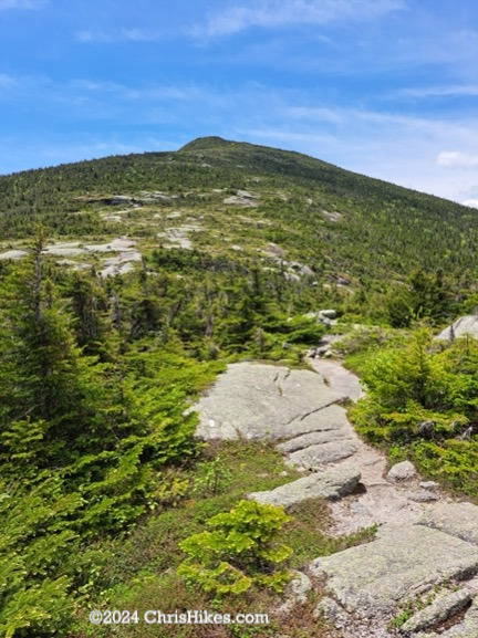
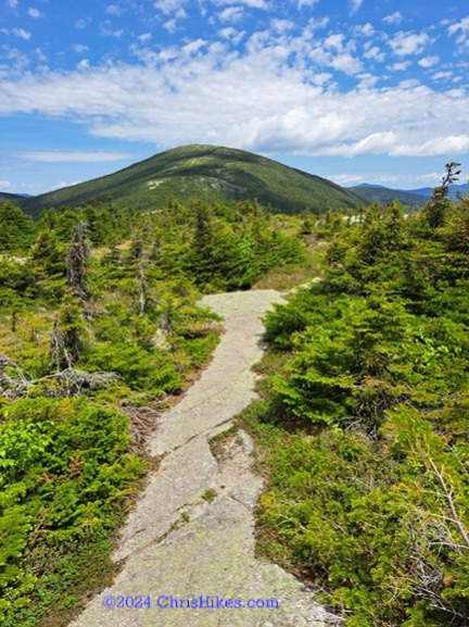
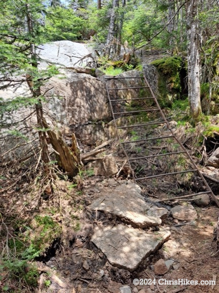
The hike up The Horn had a small scramble where there is a somewhat wobbly metal ladder. Again, there were some steep areas but nothing all that challenging compared with some 4000-footers.
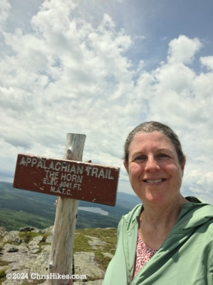
On The Horn I enjoyed more 360-degree views. I looked south toward Saddleback, and north toward the other 4000-footers in the Maine High Peaks region.
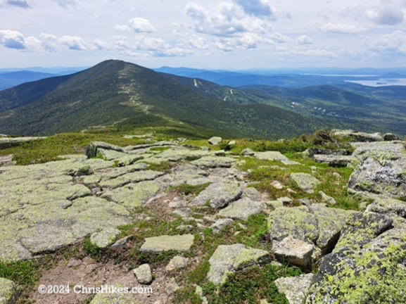
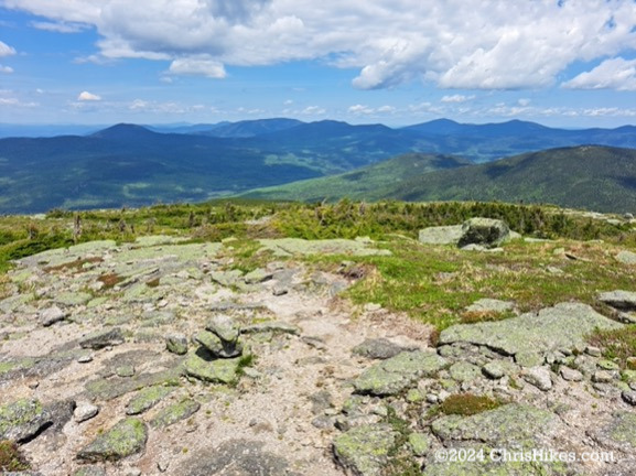
I spent a while on The Horn enjoying the views and enjoying a snack. While I could have stayed longer, I knew it was time to head back to Saddleback. I went back the way I came, now heading southbound on the AT. All along the way I enjoyed the spectacular views and I took some time to enjoy the views again on the Saddleback summit. When I reached the junction with the trail to the ski slopes I gazed back at Saddleback, marveling at the luck I had in getting perfect weather for this open ridge hike.
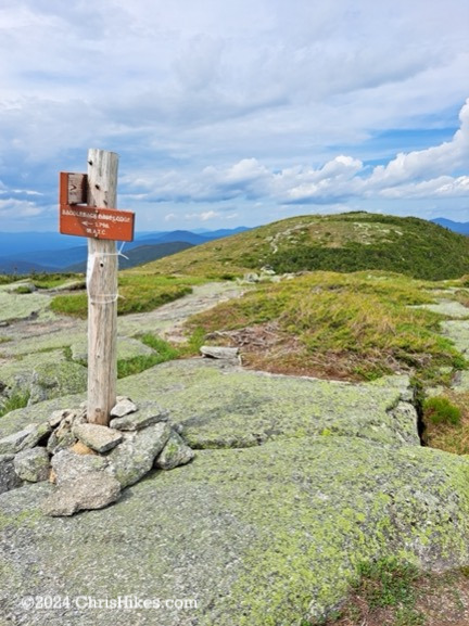
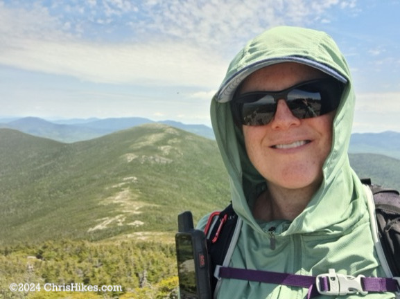
The descent on the ski slopes was steep but I appreciated the relatively smooth trail. I slipped a couple of times on the gravel near the top of the slopes and appreciated the grassy trail farther down. I did a good job of covering my upper body from the sun with my sun hoodie, baseball cap, and sunglasses. But I left my legs uncovered and they got sunburn.
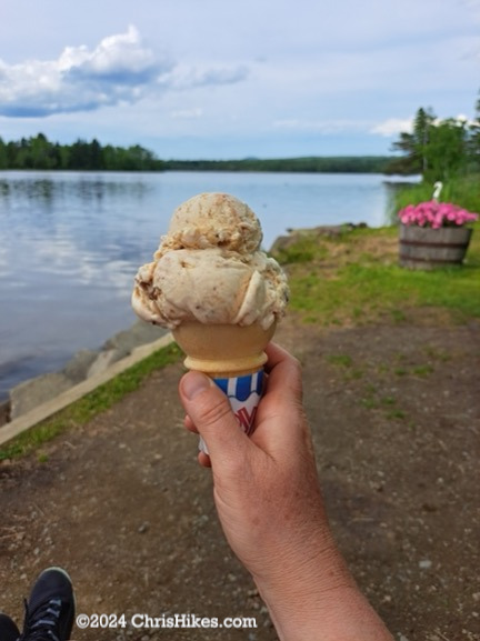
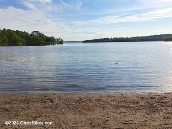
After the hike I stopped in the town of Rangeley and had a Peanut Butter Pie ice cream cone at Pine Tree Frosty. I wandered around the town and waded into Rangeley Lake to soothe my sore feet and sunburned legs.
Saddleback and The Horn were #6 and #7 of my Maine high peaks and #68 and #69 of my NE111. Overall this was on the easier and more enjoyable side of NE111 hikes I’ve done. There is little scrambling and there are views throughout the hike. The amazing weather certainly impacted my enjoyment of this hike. The hike would likely be more difficult if the rocks were wet, and with the exposure throughout the hike it would be more challenging on a hotter or colder day.