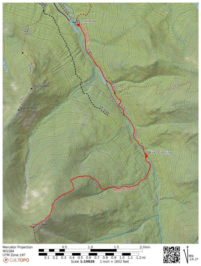
- 9 miles round trip (approximate)
- 3000 feet ascent
- Link to my hiking route: https://caltopo.com/m/7F19B85/AANKKAH8N7499065
View my Disclaimer and General Information about hiking.
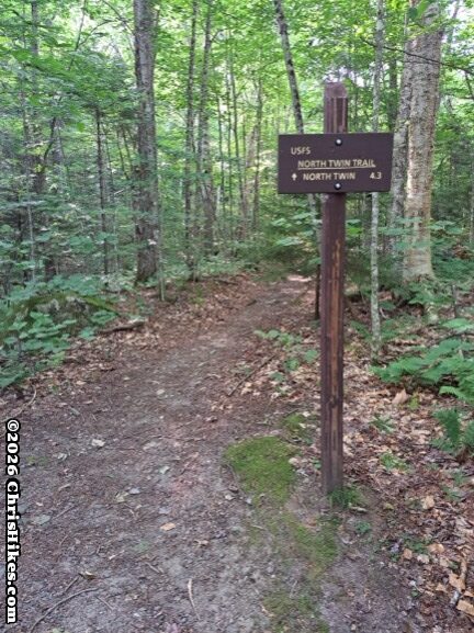
On the third day of my July 2026 trip to New Hampshire I woke up after a restful night at the Highland Center and decided to attempt my fifth 4000-footer of the trip. I enjoyed the buffet breakfast at the Highland Center then packed my car and drove to the North Twin Trailhead on Haystack Road.
Trip Planning
I have been waiting for two years for the right time for this North Twin Mountain hike. When I hiked a Pemi Loop in August 2024 I did not have the energy for the out and back to North Twin and left it as a mountain I would come back for later. I hoped to hike this mountain on one of my previous trips to New Hampshire this summer, but the water level was higher than my comfort level.
From my guidebook (AMC White Mountain Guide) I knew this trail crossed a river that is dangerous when the water is high. I had also seen social media posts about the river crossing. I checked the USGS stream gauge data for the Ammonoosuc River at Bethlehem Junction as a downstream reference point in this general area. On the day of my hike the discharge rate was 76.5 cubic feet per second, the lowest level of the season so far. Comparing trip reports from social media with the historical stream gauge readings provided useful information about the water level that likely results in a safer hike of this trail.
Both the guide book and social media posts mentioned an unofficial path that stays on the east side of the river and avoids the first two river crossings. I think the official path has now been rerouted to this east side path. On my hike I followed yellow blazes and stayed on the east side of the river until a crossing two miles into the hike. Some social media posts I saw after my hike also mentioned a rerouting of this trail.
The Approach Trail
Over the first two miles of this hike the trail is fairly smooth and gradually ascends 500 feet in elevation. As I mentioned above, I followed the blazes along the east side of the river. There were a couple of crossings over small tributaries that were easy rock hops with the low water level.
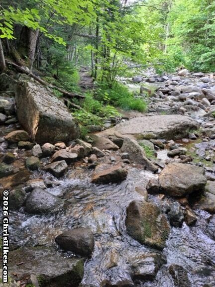
At the two mile mark the trail turns to the right and crosses the river. Thankfully the water level was low and I kept my feet dry by hopping across the rocks. My video of this North Twin Mountain hike shows the tributary and main river crossings in this section of the trail.
The Climb
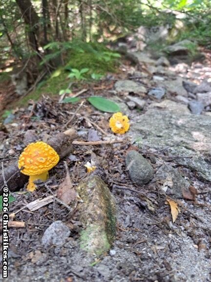
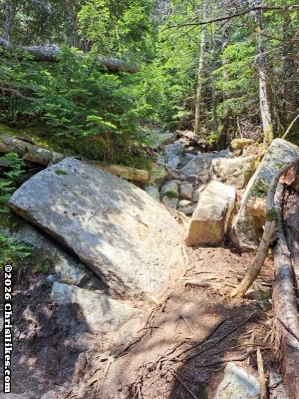
The ascent up North Twin begins after the river crossing and includes crossing more small tributary streams. Some parts of the trail are packed dirt while others are rocky with some scrambles. As I got higher up the mountain the trail became more steep. Overall, it was a typical trail for a 4000-footer in the White Mountains.
The Summit
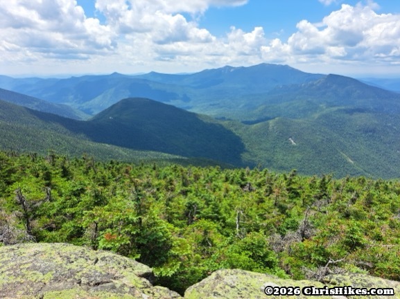
The trail leveled out and I exited the trees at a lookout point just before the summit. This lookout had a great view of the Presidential Range to the east. I took some time to enjoy the view and celebrate my hike the previous two days on the Southern Presidential peaks.
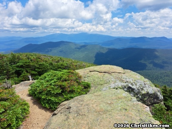

Turning back to the trail, I glimpsed the summit of North Twin looming ahead. It was time to get to the summit on this North Twin Mountain hike.
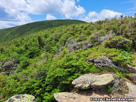
The last few tenths of a mile were mostly a gradual climb to the trail junction near the summit. There is a large rock cairn at this junction, but the true summit is marked by a smaller rock cairn halfway down the spur trail that leads to the overlook.
The views from the outlook near the summit were spectacular! I looked out on all the mountains I hiked over for my Pemi Loop trip two years ago. South Twin was to the left, Galehead in the foreground, Garfield on the right, and Franconia ridge stretched across the background from Flume and Liberty over to Lincoln and Lafayette. I peered into the Pemigewasset Wilderness below with Owls Head poking up in the middle.

The Hike Down
Since I have already hiked all the other mountains in this area, I turned around at the North Twin summit and headed back down the trail. I carefully descended the steep areas near the top, crossed the river, then enjoyed an easy stroll along the river back to my car. At the parking area I cooled off in the stream then got in my car and started the drive home. I finished the hike just in time because there was heavy rain by the time I reached the end of Haystack Rd. and turned onto Highway 3!
The North Twin Mountain hike can be grouped with other mountains, but I’m glad I ended up doing this as a single mountain hike. I enjoyed standing at the two outlooks and seeing so many of the mountains I’ve previously hiked. North Twin was my 42nd mountain of the 48 mountains for the New Hampshire 4000 footer list, and 103rd for the Northeast 111 list.