- 10.3 miles round trip
- 3870 feet of ascent
- Link to my hiking route: https://caltopo.com/m/V1H3897/48NLCCRFV471J362
View my Disclaimer and General Information about Hiking.
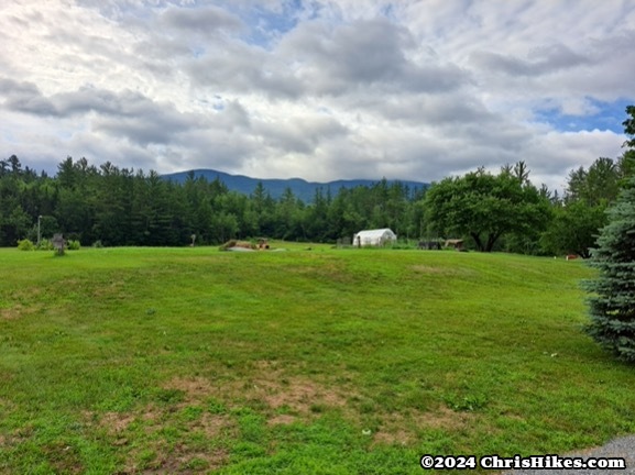
The third hiking day of this New Hampshire trip was looking like a repeat of the last day of my Maine trip earlier in the month: the forecast called for strong thunderstorms at the time I would be near the summit of a mountain. I decided to start hiking and see if I could get to some peaks and down to lower elevation before the storms rolled in. After another good night’s sleep and a great breakfast at the Kinsman Lodge it only seemed fitting to hike North and South Kinsman, the mountains I had viewed from my bedroom window.
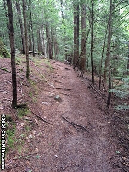
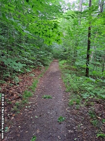
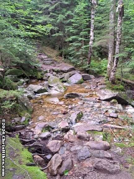
The Mt. Kinsman trail starts a half mile south from Kinsman Lodge on NH116. This is a lesser used approach to the Kinsmans and probably has a few hundred feet more of elevation gain than the approach from Franconia Notch. The first two miles of this trail were a relatively gradual, but steady, ascent of around 1400 feet on a well maintained trail. Some sections of this trail were an old dirt road that was quite smooth.
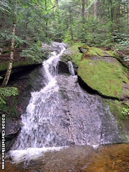
I easily rock hopped across a couple of small streams. On this hot and humid morning I thought about cooling off in the pool under a waterfall, but decided to keep moving up the mountain with the hope of beating the thunderstorms.
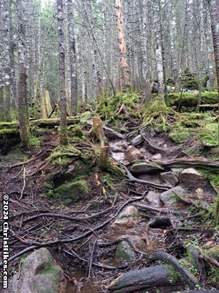
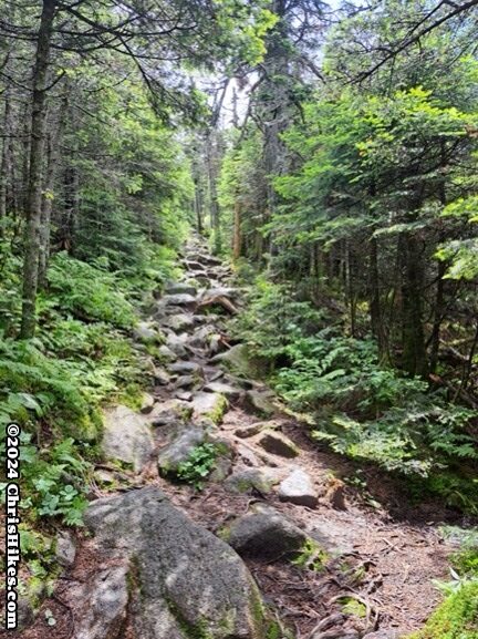
Over the next 1.5 miles the trail gains another 1400 feet. There were rougher and steeper sections of trail as I got closer to the junction with the Kinsman Ridge trail, including areas with wet rock slabs. I always found good enough footing on these sections, but slowed down a bit as I carefully planned my steps through this more rugged terrain.
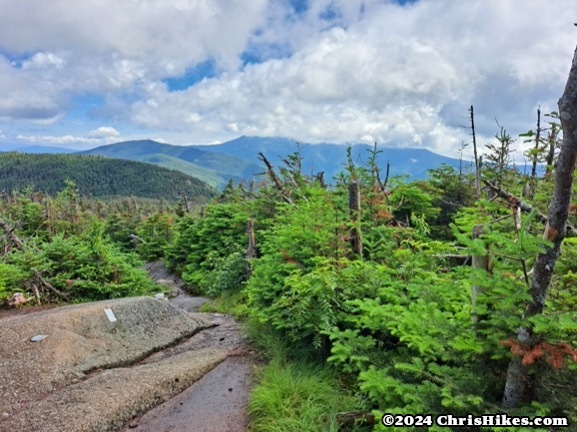
At the junction with the Kinsman Ridge trail there was a lookout across Franconia Notch and I could see clouds covering the summits of Lincoln and Lafayette. I had enough cell phone service to check the weather. There were no thunderstorms nearby. It looked like I would have time to get across the ridge to South Kinsman and back to this point before the storm arrived.
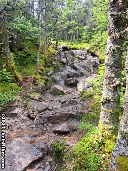
North Kinsman is a beast! The less than half mile from this trail junction to the summit ascends 400 feet with a number of rocky scrambles.
The summit of North Kinsman is mostly enclosed in trees. There is a viewpoint near the summit that is worth the work of climbing down a rock for a nice view of Lincoln and Lafayette.
I took pictures of the view, then moved on toward South Kinsman. The descent from North Kinsman had a couple of technical sections where I carefully found my way down rock slabs. I did some butt sliding on this descent and did my best to keep moving at a good pace while safely traversing the terrain.
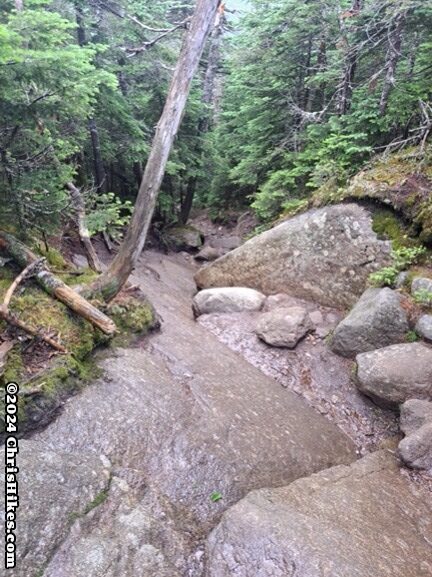
The trail up South Kinsman was mostly covered in small boulders. With careful footing, I made good time on this ascent.
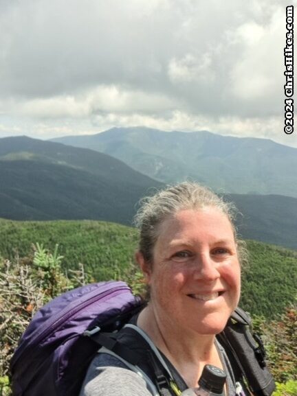
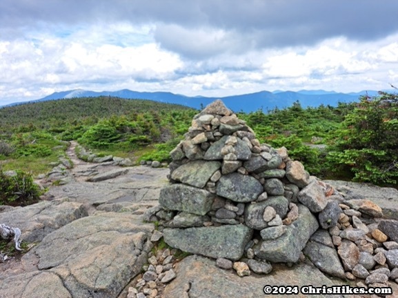
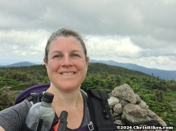
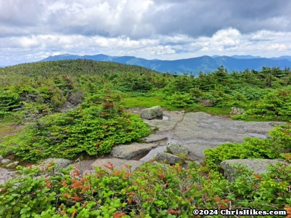
South Kinsman has two bumps on its summit. At the first (north) bump there is a small pile of rocks and a bit of a view. I continued south to the second summit bump where there is a large cairn and a better view. There is a 360 degree view from this south bump, although there are some small trees that partially obscure the view.
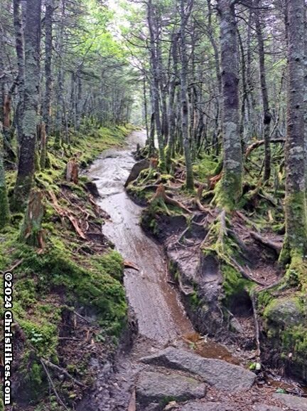
I checked the weather again and saw the radar was becoming more active. As quickly as I safely could, I headed back down the rocky South Kinsman trail then scrambled over North Kinsman. Back on the Mt. Kinsman trail I carefully descended the rocky, rooty top part of the trail. I heard thunder getting closer and put away my phone and put the rain cover over my pack. Because it was a warm day, and because my recent rainy hikes showed me that I get wet inside my rain jacket, I decided to embrace the rain and get soaked. Since I reached the easier part of the trail before the rain started I was able to keep moving at a good pace throughout the storm.
The sun came back out after the storm passed and the humidity was a bit lower. When I got back to my car I changed into dry clothes and headed home. This was a great trip to New Hampshire! I hiked 5 more of the 4000 footers and gained more experience with hiking in cool rainy weather and warm thunderstorms. Even with the stormy weather I was able to enjoy some great views.