- 8.4 miles round trip
- 2770 feet of ascent
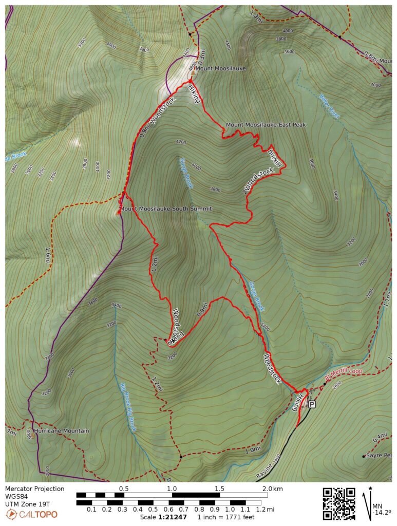
- Link to my hiking route: https://caltopo.com/m/8N28SJ9/E78LMKGK0A19C31P
View my Disclaimer and General Information about Hiking.
Near the end of June I had time for another hiking road trip. This time I hoped to check off a few more of the New Hampshire 4000 footers. I left my house in the morning, headed east, and hiked the westernmost New Hampshire 4000 footer: Mount Moosilauke.
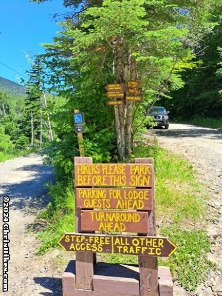
I parked near the Moosilauke Ravine Lodge, a property owned by Dartmouth College. Hikers can park along the dirt road leading up to the lodge. A lot of other hikers were already on the trail near mid-day on this Friday leaving the closest parking spot at around a quarter mile from the start of the hiker parking area. During the non-winter months, drive past the area with signs for angled parking to get to the part of the road where parallel parking is allowed. The angled parking area is for the winter when the top part of the road is closed.
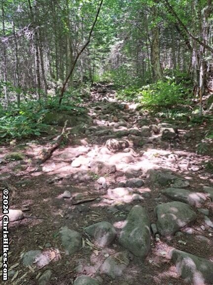
The left fork of the road led me past the lodge to the hiker sign-in box and a bridge over a stream, leading to the start of the Gorge Brook Trail. The first part of this trail was rocky and mostly followed alongside the Gorge Brook.
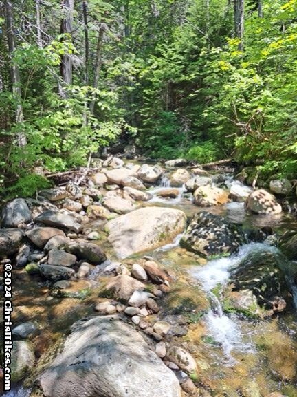
Around halfway up the mountain there were areas of smoother trail and views of areas where the brook falls down cascades.
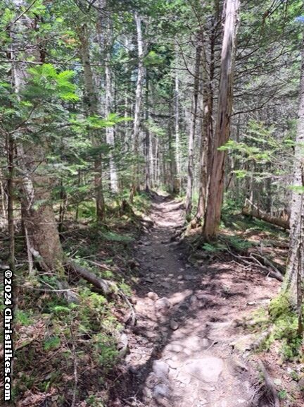
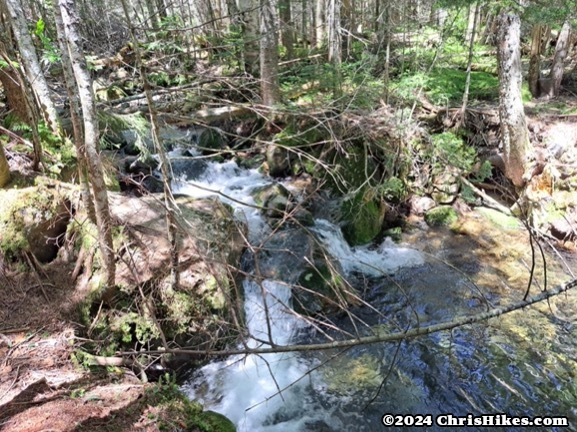
The upper portion of the trail had roots and rocks to navigate over. I enjoyed hiking through the lush, green forest in this area. Some of the steep sections of trail had rock steps.
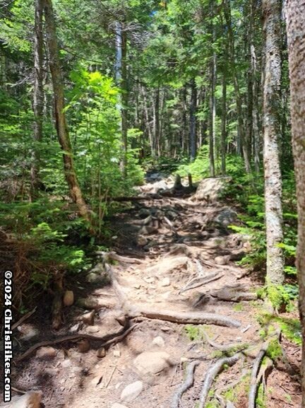
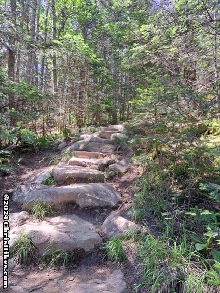
Before long I hiked above the tree line and walked along a rocky path toward the summit.
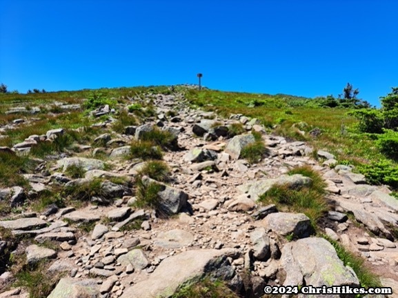
This was a beautiful, clear sky day. It was a great day to hike a mountain with an open summit. The wind was strong at the summit, but it was a warm enough day that I didn’t get too chilled. Some of the folks who were descending the mountain when I was heading up said that it had been very cold at the summit. I had the benefit of arriving at the summit in the early afternoon when the temperature had risen and the winds may have diminished.
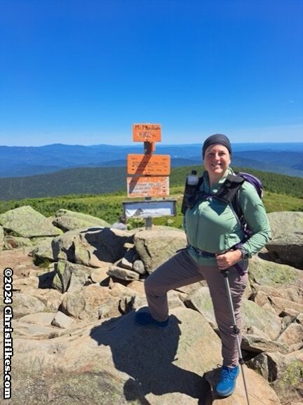
It was a crowded summit! There was a group of around 20 people, and a few other groups of 5 or so people. The summit is large enough to allow the groups to spread out and everyone found a rock to sit on. There are multiple rock walls that have been constructed on the summit to provide hikers with shelter from the wind.
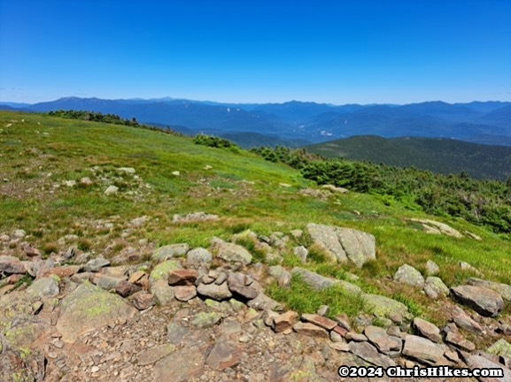
After enjoying a summit snack, I continued on my hike. I took the Carriage Road Trail, which is also the southbound Appalachian Trail, to descend from the summit. This is a relatively gradual descent. Some areas were a bit rocky, others were like a smooth dirt road.
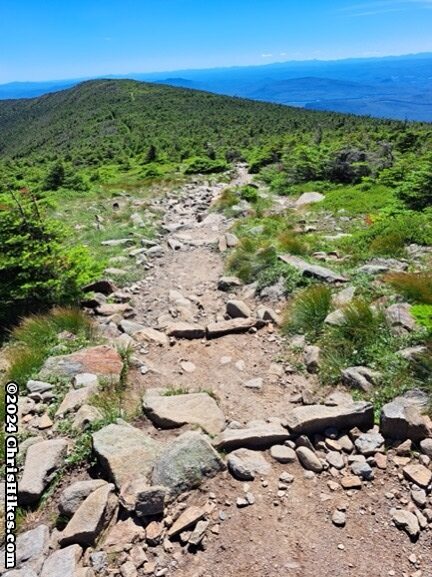
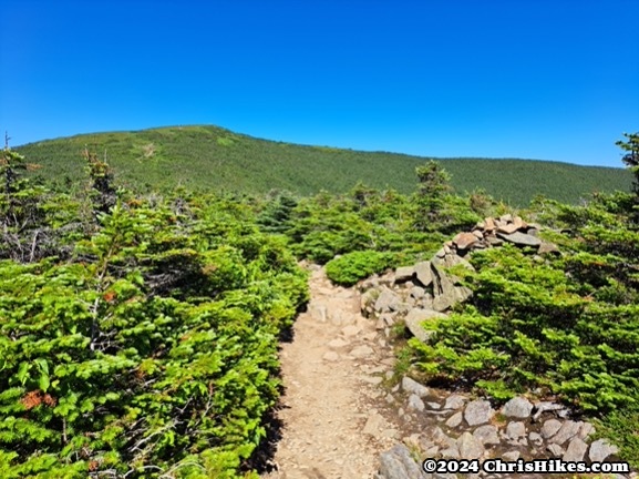
Near the junction where the AT splits from the Carriage Road, I took the quarter mile spur trail to the South Peak. Getting up to this summit was a short climb with a couple of small scrambles. I enjoyed looking back at Mount Moosilauke from this less crowded summit.
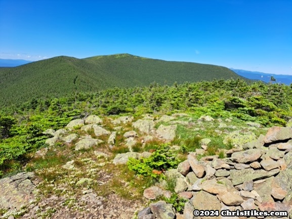
Reluctantly, I left this beautiful view and continued my descent. The Carriage Road Trail is wide and somewhat rocky. I turned right onto the Snapper Trail, a nice walk through the woods with a gradual descent. This trail took me back to the Gorge Brook trail and then back to the parking area.
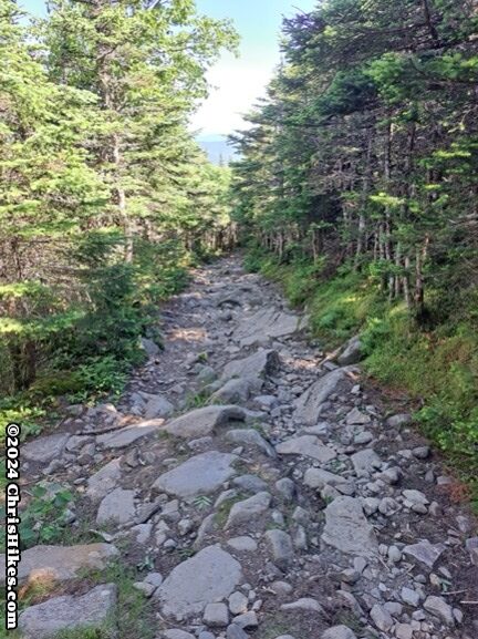
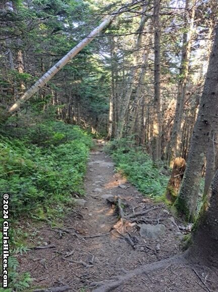
The slopes throughout this hike are relatively moderate. The most challenging part of this hike is the rocky trails where I had to be careful about my footing. This is a hike to try to do on a clear day so you can enjoy the views at the top and stay safe on the open summit.