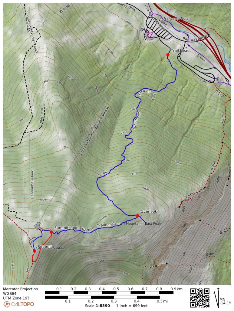
- 4.5 miles round trip (approximate)
- 2320 feet ascent
- Link to my hiking route: https://caltopo.com/m/JGQ5URT/MCRE9F3NJ6168Q4C
View my Disclaimer and General Information about Hiking.
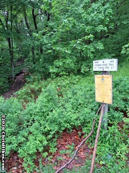
The second half of this week in New Hampshire was stormy. After the long Owl’s Head hike on Tuesday, I spent Wednesday resting and setting up a campsite. There were storms on Wednesday afternoon and night with heavy rain and there was a chance for more storms for the rest of the week. Given the weather, my best option for another 4000-footer was a Cannon Mountain hike because it is just over 4000 feet, has a short trail, and does not have stream crossings. On Thursday morning I headed over to the large, empty tramway parking area and headed up the Kinsman Ridge trail.
The Northeast 4000-footer Sampler Platter
From the tramway parking area it is just over 2 miles and 2100 feet of ascent to the summit of Cannon Mountain. This is a very steep trail for the first mile, climbing 1800 feet to the ridge. The second mile goes over the mountain’s east peak then up to the summit. I’m naming this trail the “Northeast 4000-footer Sampler Platter” because there was an ever changing variety of trail conditions. If you are early in your 4000-footer journey, this trail gives you a taste of the terrain to come. If you’ve hiked a bunch of 4000-footers, you can reminisce about them along this trail.
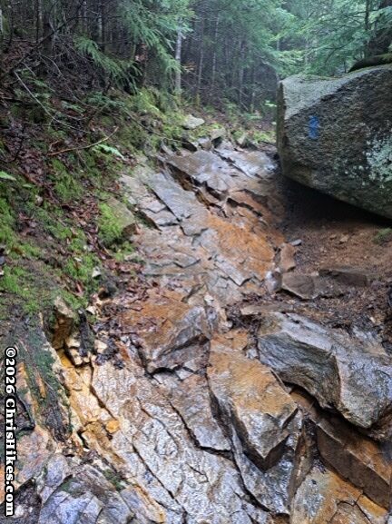
The start of the steep trail is loose dirt, gravel, and small rocks, reminding me of hiking the Hancocks in New Hampshire. The next terrain is chunky rock slabs that transition into chunky rock pieces. The trail was wet from the previous night’s rain, with water running down the trail in many places. Thankfully the rocks were grippy enough and my trail runners have very good traction so I did not slip. Still, I was careful on ascending and descending this rocky trail.
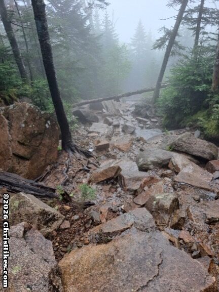
There were small sections of smooth rock slabs that reminded me of New York Adirondack High Peaks. I used my well-honed skills of finding roots and trees along the edges of these slabs to use as steps and hand-holds for safely climbing these sections.
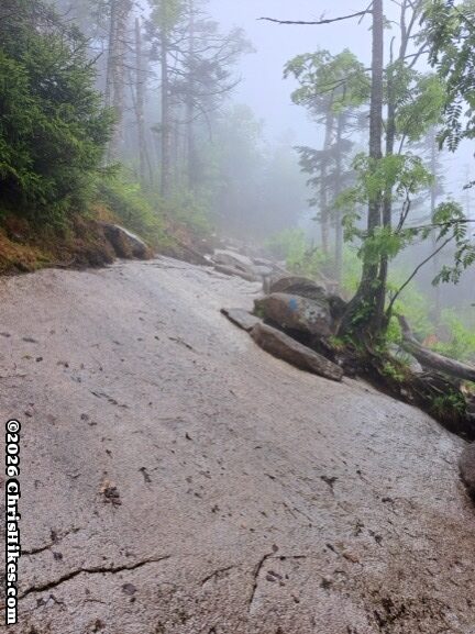
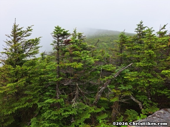
I was slow on this climb with it taking me nearly 2 hours to hike the 1 mile to the ridge. The trail reaches the ridge near the summit of the east peak of Cannon Mountain and there is a side trail on the left that leads to an overlook. I was in the clouds so didn’t bother going to the overlook and instead turned to the right to continue the hike to the summit. Along this part of the ridge there were wet, muddy areas reminiscent of Adirondack High Peak summit ridges. The clouds cleared just enough for me to get a peek of the side of Cannon Mountain’s summit.
Reaching the Summit
As the trail began the final ascent to the summit I crossed an area of large rocks that reminded me of nearing the summit of Katahdin in Maine. This Cannon Mountain hike truly is a Northeast 4000-footer Sampler Trail!
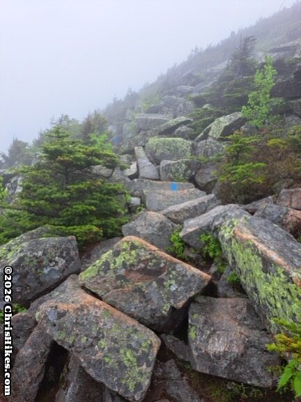
I took the loop trail clockwise across the summit. Near the summit I found a bush with pretty purple flowers. I had also seen these flowers on Owl’s Head, but didn’t take a picture there.
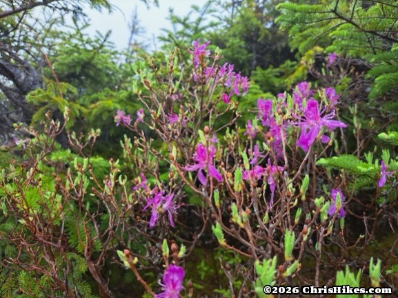
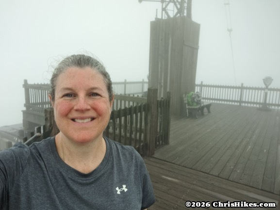
Finally I reached the lookout tower at the summit. It took me nearly 3 hours for this Cannon Mountain hike of just over 2 miles! The clouds were still covering the mountain and I had no views from the summit.
Heading Down the Mountain
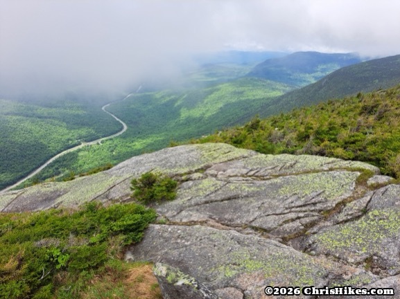
I walked down the stairs from the lookout tower and continued clockwise on the summit trail back to the Kinsman Ridge trail where I had come from. There are multiple trails and ski slopes that leave the summit and I had to pay attention to make sure I took the right trail. The clouds started to clear as I made my way across the ridge. Before starting the steep descent, I took the side trail to the overlook and had some view down into Franconia Notch. The surrounding summits were still in the clouds. I think this viewpoint is essentially on top of the “Old Man of the Mountain” rock feature so I was standing on top of the Old Man’s head!
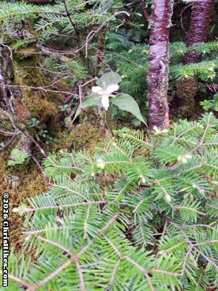
On the side of the trail I spotted a painted trillium flower. It was starting to fade since this was nearly the end of trillium season.
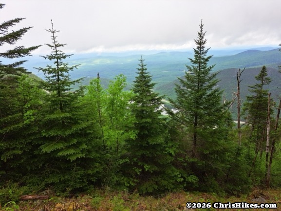
I carefully made my way down the steep, wet, rocky trail. There were a few viewpoints along the trail and my views were getting better as the clouds cleared.
Summary
This Cannon Mountain hike took longer than I expected. It is around 4.5 miles and 2100 feet of elevation gain, so I expected to have around a 1 mile per hour pace. But my pace was slower and I took around 5 and a half hours for the hike. The wet conditions slowed me down some and I was making videos along the hike (which provides a reason for helpful breaks on the steep sections).
I was also struggling with negative self talk and feeling disappointed that I wasn’t hiking more mountains during this New Hampshire trip. The negative thoughts in my head distracted me from hiking and slowed me down. I spent time after this trip reflecting on these thoughts and feelings. I did complete my main goal for this trip: hiking Owl’s Head. After that long hike, I needed a day of rest. The weather was not great for the second half of the week. Since many of my other New Hampshire trips have had poor weather days I’ve already hiked most of the peaks that are good hikes for bad weather days. This was not a perfect trip, but I accomplished the main goal and was able to also hike a second mountain. I enjoyed the time I spent traveling to New Hampshire and camping. Hiking the 4000-footers that are farther away from home is showing me the challenges of completing a hiking challenge when I need to factor in time and expense for travel. I continue to learn about planning hikes and accepting changes to those plans based on the actual conditions I experience.