- 16 miles round trip (approximate)
- 3250 feet ascent
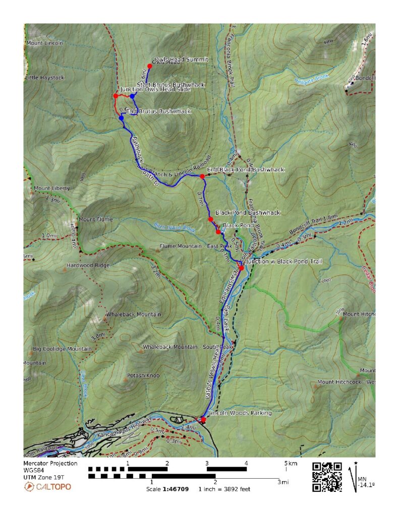
- Link to my hiking route: https://caltopo.com/m/BDH25TD/5H95VR0LT4H0VU0Q
View my Disclaimer and General Information about Hiking.
During the second week of June 2026 I took another New Hampshire hiking trip. My primary goal was to hike Owl’s Head because the most common approach trail was going to close the next week and likely stay closed until November. I started at the Lincoln Woods parking area. For this hike I took the Lincoln Woods trail to the Black Pond trail, then the bushwhack around Black Pond to connect with the Lincoln Brook trail. After crossing a couple of tributary streams and crossing Lincoln Brook, I took the Owl’s Head Path to the summit then the Brutus Bushwhack back down to the Lincoln Brook trail and headed out the way I came.
Trip Planning
I faced two main complications for hiking Owl’s Head: the closure of the Lincoln Woods trail and the stream crossings. I found out about the upcoming trail closure from hiking groups I follow on social media and confirmed the details from the alert posted on the White Mountain National Forest website. From my guidebook (AMC White Mountain Guide) I knew there were some stream crossings that are dangerous when the water is high. I had seen posts about these stream crossings on social media, including videos of people crossing in raging water that looked dangerous from my perspective. Some folks on social media suggested checking the USGS stream gauge data for the East Branch of the Pemigewassest River in Lincoln which is downstream from the crossings on this trail. On the day of my hike the stream gauge was around 250 cubic feet per second and the crossings were fine. Comparing trip reports from social media with the historical stream gauge readings provided useful information about the water level that likely results in a safer hike of this trail.
I also used the social media groups to learn about the common bushwhacks for this hike. The Black Pond bushwhack slightly reduces the length of the hike and avoids a couple of stream crossings. The Brutus Bushwhack is a bit less steep than the path along the Owl’s Head slide. I used CalTopo to map out my route for this hike and the paths for both of these bushwhacks were shown on the CalTopo map. These bushwhack paths were also shown on the maps I have loaded on my Garmin GPSMap 66i, and I loaded the route I created in CalTopo onto my GPS device. I do not see these bushwhack paths on AllTrails or OnX Backcountry. While I found both of the bushwhacks to have a well defined path that was easy to follow, I was glad to have done my homework and know that I could use my Garmin GPS and Garmin Explore App to help me find the path if needed.
Trip Report
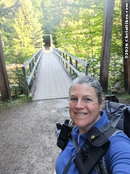
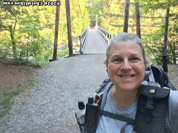
After doing all this planning I was happy to see that good weather was in the forecast for the start of this week. It was time for me to try to hike Owl’s Head. I stayed at a hotel in Lincoln, got up early for the quick drive to Lincoln Woods, and was on the trail before 7 AM. The Lincoln Woods trail starts with an iconic suspension bridge crossing the East Branch of the Pemigewassest River.
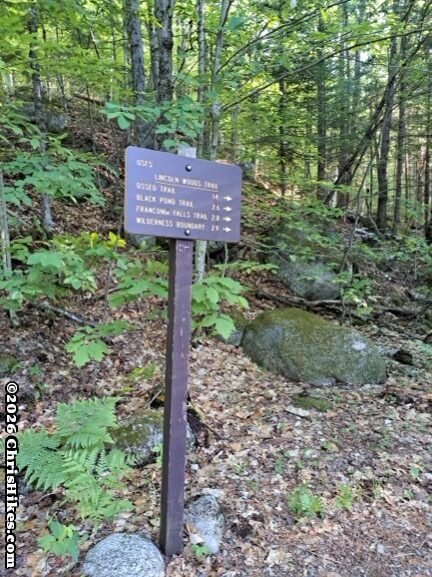
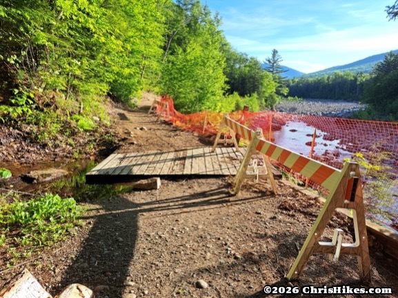
As a former railroad bed, the Lincoln Woods trail is wide, mostly straight, and has a very gentle slope. Less than a mile into the trail I passed the heavily eroded section that will be fixed and stabilized this summer. The river has carved away the bank to the point where the trail is pinned between a steep drop off to the river and an equally steep slope up away from the river.
I made good time on the easy Lincoln Woods trail and reached the left turn to the Black Pond trail. Some rocks along the side of the trail made a nice spot for a break and a snack. A spritz of DEET bug spray on my arms and neck kept the mosquitoes from bothering me.
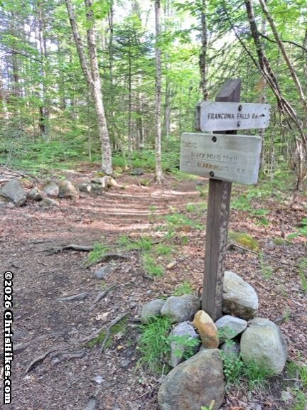
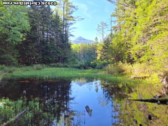
The narrow trail to Black Pond was a nice change of pace as it traversed small ups and downs through the trees and across small streams. In less than a mile I noticed the trees were opening up at the pond and I had my first glimpse of Owl’s Head.
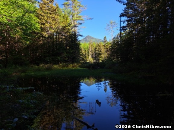
The official trail terminates at the south end of Black Pond. I saw a boggy area in front of me, and to the left I noticed a foot path going up a slight rise: the start of the Black Pond bushwhack. After crossing this boggy area the foot path was easy to follow as this is a popular route. However, with the closure of the Lincoln Woods trail in Summer 2026 this route will likely be less traveled and the forest may quickly reclaim the path. This path was mostly dry with occasional small areas of mud.
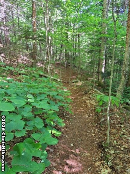
The bushwhack path rises up to a height of land, then descends and crosses a wet area before meeting the Lincoln Brook trail. I turned left on the Lincoln Brook trail and hiked along the brook, which was wide and fast flowing even on this dry day. The first two water crossings are of smaller tributaries feeding into Lincoln Brook, and the third crossing is of Lincoln Brook just before the Brutus Bushwhack. Each of these three crossings was progressively wider and more challenging, although the water levels were low enough that I easily found rocks to hop across and kept my feet dry.
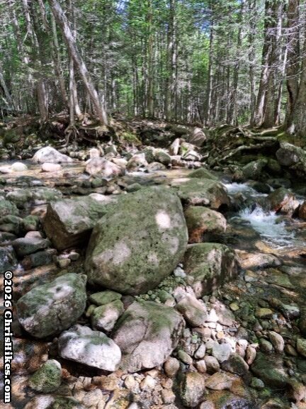
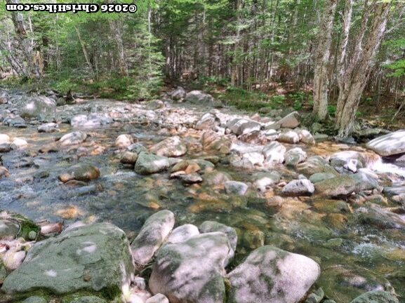
After the third water crossing I took a snack break and enjoyed sitting on a rock on the side of Lincoln Brook. Then I got back on the trail, passed the junction with the Brutus Bushwhack, and continued on the Lincoln Brook trail to the rock cairn that marks the start of the Owl’s Head Path. The steep ascent begins in the woods, then comes out onto the rock slide. At first the slide consists of loose rocks and scree, then it has more larger rocks to climb up. While taking breaks to catch my breath on this steep climb, I turned around and enjoyed the views of Franconia Ridge. I knew these were my only mountain views for this day.
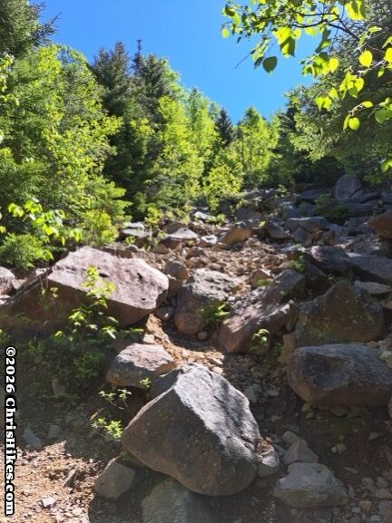
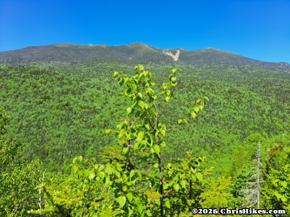
Before long the trail reentered the woods and continued its steep climb up a rocky path.
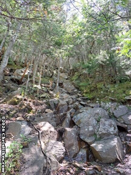
At around 3400 feet elevation I passed the end of the Brutus Bushwhack. The trail continued climbing steeply until I reached around 3900 feet elevation. Then it traversed the summit ridge for around a quarter mile to the pile of rocks that marks the tree-covered summit of Owl’s Head.
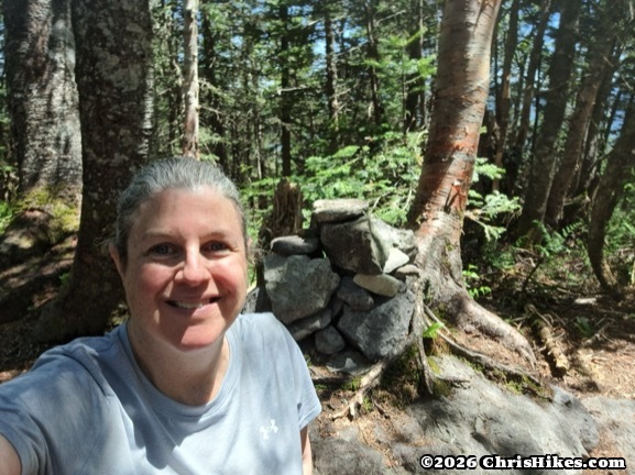
I rested at the summit for around a half-hour, ate lunch, and enjoyed chatting with other hikers. Then I started the descent. On my way down, I looked for the large boulder where the trail goes to the left and the Brutus Bushwhack path is marked by a small cairn.
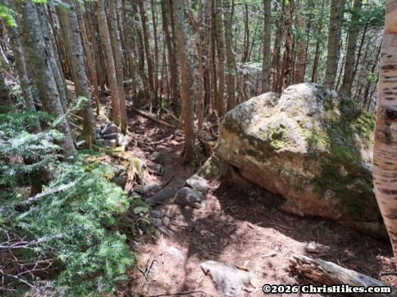
The Brutus Bushwhack path provides a slightly less steep descent than the slide and generally has good footing. There were a couple of very steep sections where I needed to carefully descend the slippery loose dirt. I found this path mostly easy to follow. The one confusing section was where a small stream begins and there is a clear path going to the left but this is not the path to take down. At this point, the path down follows the stream for a short distance then goes to the right away from the stream. I was thankful to have my GPS map to confirm I was going the correct way.
After reaching the Lincoln Brook trail I retraced my steps back over the stream crossings, and on the Black Pond bushwhack. When I reached Black Pond I had a nice view of the late afternoon sun illuminating the surrounding mountains and one more peek at Owl’s Head.
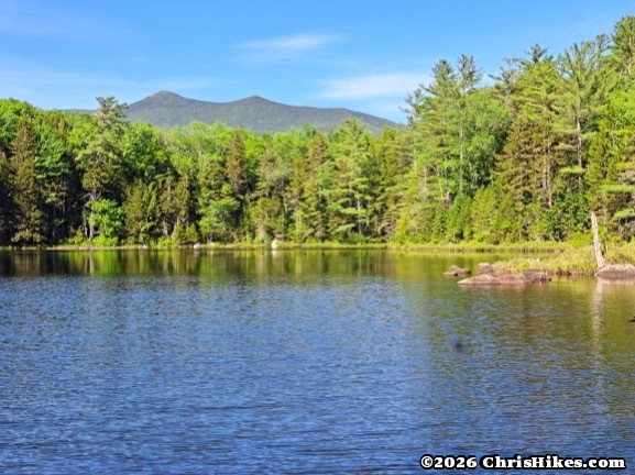
I kept my tired legs moving and made good time back to the Lincoln Woods parking area. Then I headed back to a hotel in Lincoln for a hearty dinner and much needed rest.
Summary
This was my 36th mountain of the 48 mountains for the New Hampshire 4000 footer list, and 97th for the Northeast 111 list. I’m glad I was able to hike Owl’s Head before the Lincoln Woods trail closed for what will likely be the rest of the 2026 hiking season. I was questioning whether I made the best decision to do this hike at the start of my week in New Hampshire on a day when the weather was good and I could have hiked to a higher summit. But there was heavy rain in the 24 to 36 hours after I completed my hike and the stream crossings would have been more difficult or impassable later in the week. Even though there are not many views on this hike, I’m glad I hiked it on a good weather day when I could easily cross the streams and enjoy the long walk through the beautiful woods.