- 10.5 miles round trip
- 3600 feet ascent
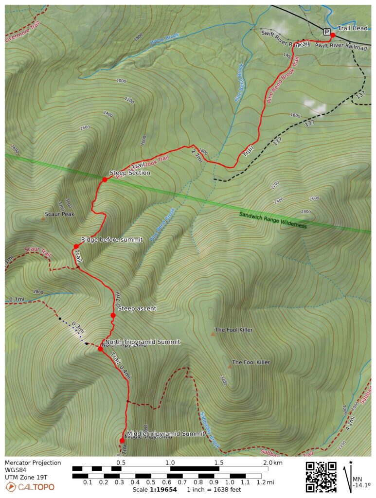
- Link to my hiking route: https://caltopo.com/m/53SG1A6/R42R9EB2MULEB0G0
View my Disclaimer and General Information about Hiking.
This was the third day of my May 2026 New Hampshire hiking trip during the week before Memorial Day. I decided to finish off the 4000 footers in the southern White Mountains with a hike to North and Middle Tripyramids. There are multiple trails to these mountains. One of the popular trails is up the steep slide to North Tripyramid and down the steep loose slide from South Tripyramid; these two trails are on the Terrifying 25 list. I took a different route out and back on the Pine Bend Brook trail. While this trail has steep and challenging sections, it is a more moderate hike than the trails up and down the slides.
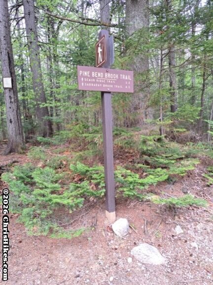
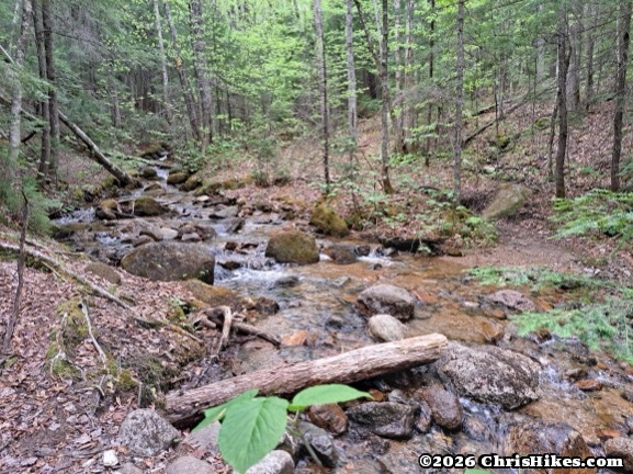
I started the hike at the Pine Bend Brook trailhead on the Kancamagus Highway. There is room for around 5 to 10 cars to park along both sides of the road near the trailhead. The first two miles of the trail gently ascends around 800 feet in elevation while traversing a lush forest and crossing many small streams. While all the stream crossings were easy rock hops on this day, it looked like the crossings could be more challenging when the water is higher.
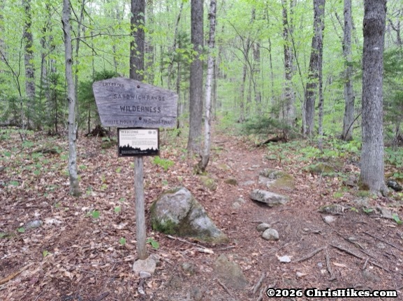
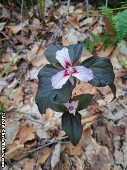
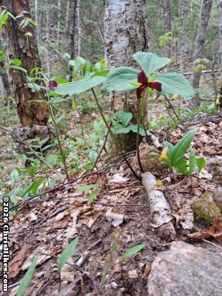
The climb starts getting steeper around the point where the trail crosses into the Sandwich Range Wilderness. There were painted trillium and purple trillium wildflowers blooming in this area.
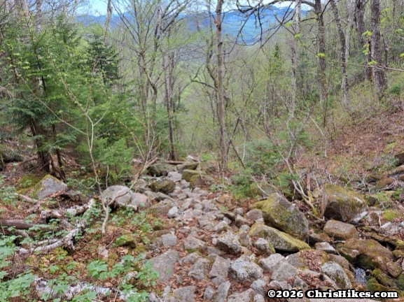
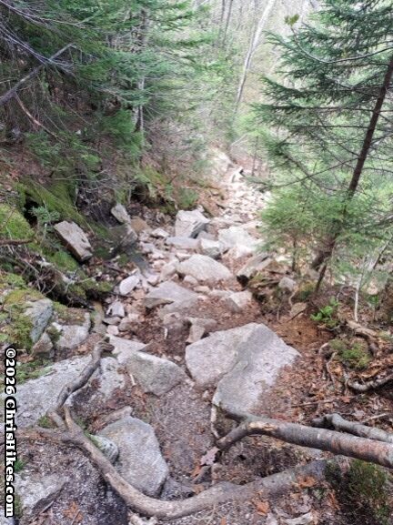
The most challenging section was a quarter mile that ascended around 400 feet up a rocky slide. Thankfully these rocks were solidly in place providing good steps to climb. I often used my hands to help me up this section.
The trail takes a sharp turn to the left and has a short section that is less steep before turning back to the right for another section of a quarter mile and 400 feet of ascent. This section started out with some loose dirt and rocks then became a rooty dirt trail. While still steep, this second steep section was less challenging than the first due to easier terrain. I spotted some trout lily wildflowers that were just starting to bloom.
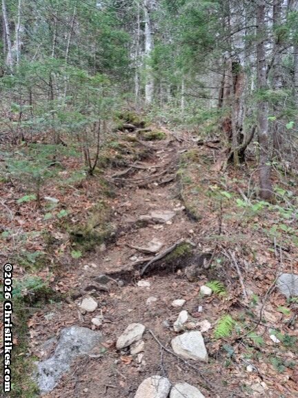
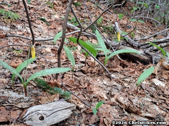
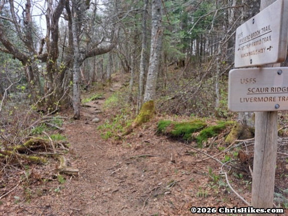
Near the junction with the Scaur Ridge Trail the trail levels out at around 3400 feet elevation providing a much needed break after the steep climb.
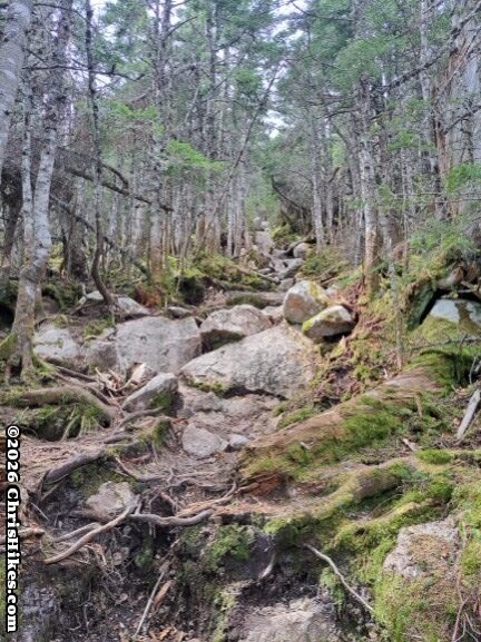
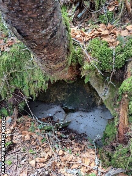
The last 500 feet of ascent required traversing another section of steep trail. This section had a few scrambles up short rock faces, a challenge I enjoy. I spotted a little patch of ice still holding on in a depression under a tree.
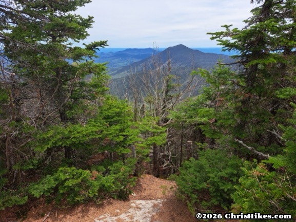
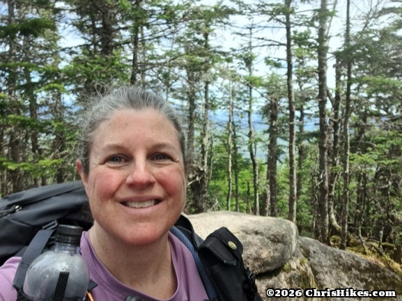
I made it to the summit of North Tripyramid! This is a tree-covered summit where I had to peek between the pine trees to glimpse a view of the surrounding mountains.
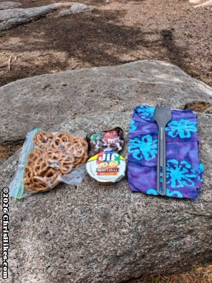
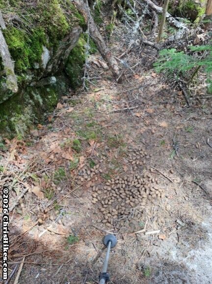
After a quick snack of pretzels, peanut butter, and M&Ms (an amazing combination!) I continued south on the Mt. Tripyramid Trail towards my next summit. The south side of North Tripyramid is definitely its gentle side. There were a couple of short scrambles and most of the trail was a smooth gentle descent. I spotted some moose droppings along the trail!
I passed the junction with the Sabbaday Brook trail and finished the descent into the col between the two peaks. Thankfully, the trail only descends 400 feet between the peaks.
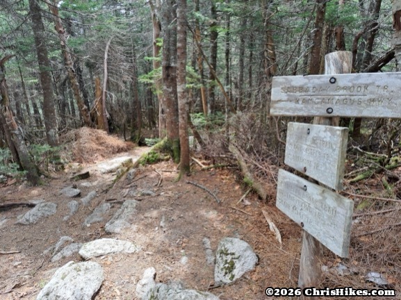
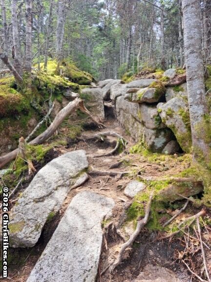
After enjoying this easy section of the hike I started the 400 foot ascent to Middle Tripyramid. Much of this trail had small rocks to step on and there were small sections of larger rocks to climb up.
I took a quick break at Middle Tripyramid to enjoy the views of Passaconaway to the west and Waterville Valley ski area along with Mt. Tecumseh to the west.
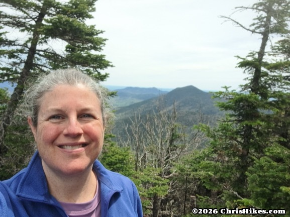
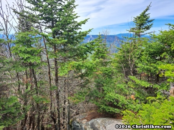
Then it was time to turn back to the north and head back the way I came. I descended from Middle Tripyramid and made good time through the col.
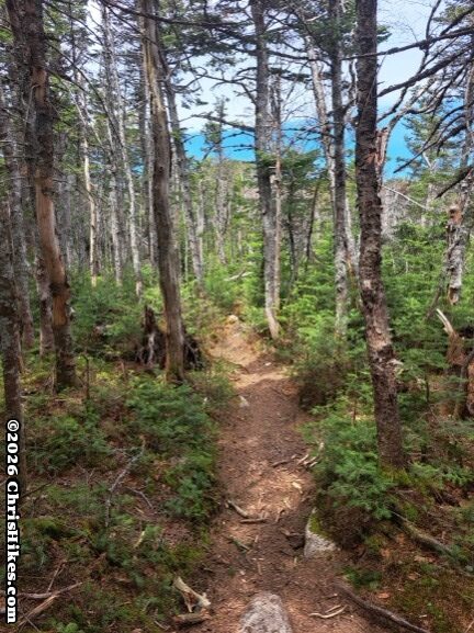
Then I went back up to North Tripyramid with a couple of small scrambles along the way.
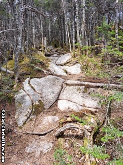
I took a quick break on the summit of North Tripyramid to chat with a group of young men who had come up the trail from the slide. They were chatting about how steep it was and I felt glad I decided to take the Pine Bend Brook trail. I continued to the north and started my descent. After getting through the steep rocky section, the final two miles back to my car were a breeze.
These were my 34th and 35th mountains of the 48 mountains for the New Hampshire 4000 footer list, and 95th and 96th for the Northeast 111 list. I’ll be back soon for more New Hampshire hiking.