- 3.2 miles round trip
- 1000 feet of ascent
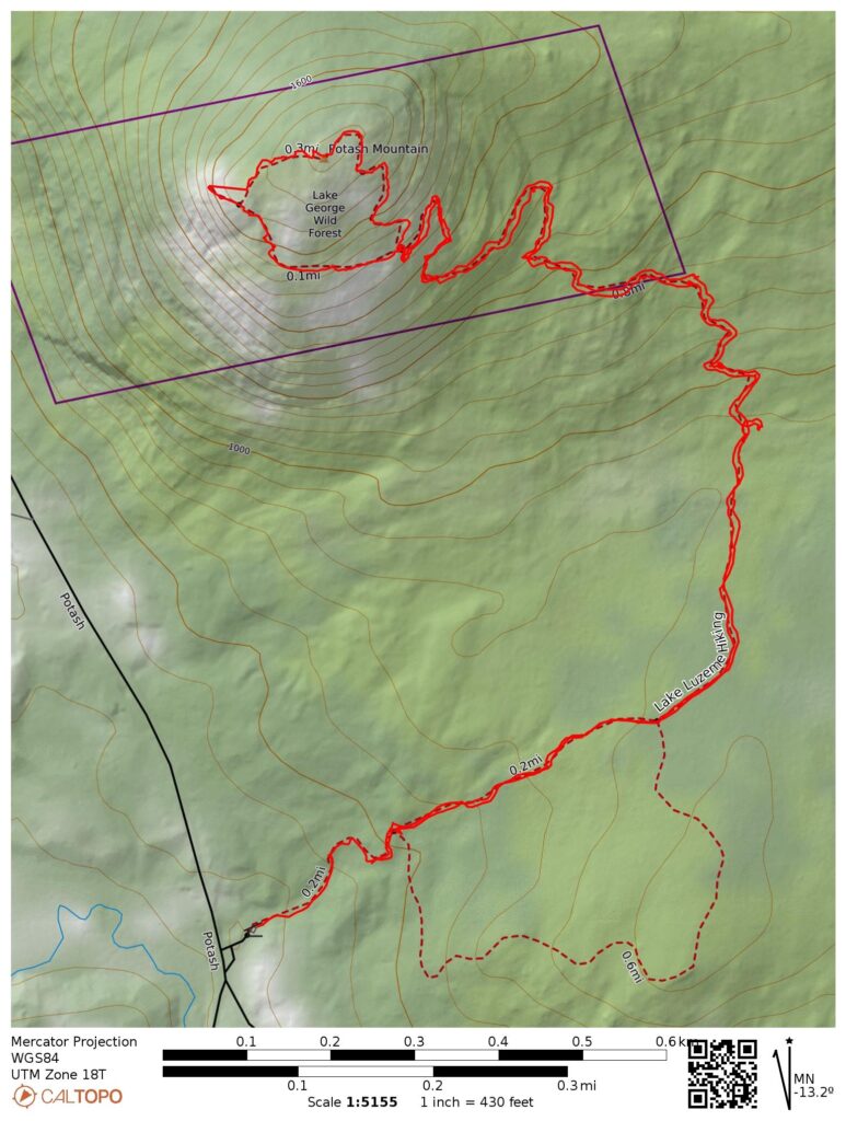
- Link to my hiking route: https://caltopo.com/m/Q6T8MB9/CVFH4VB3CU883EEJ
View my Disclaimer and General Information about Hiking.
I woke up early on a weekend morning and decided to enjoy breakfast on top of a mountain. It was an overcast day, but any day I can go for a hike is a great day! I had other things to do this day, so I decided to stay close to home and hike Potash Mountain in Lake Luzerne.
The trailhead for Potash Mountain is at the Harris Land Preserve. There is a large parking lot and a beautiful picnic pavilion next to a stream.
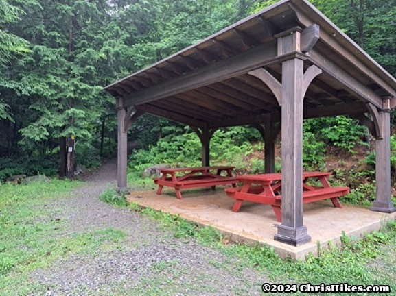
At first, the trail is a smooth gravel path. There is a short climb up to a wooden bridge over the stream. It had been fairly dry so the stream was quiet on this day.
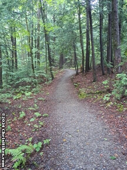
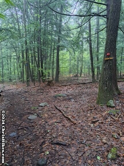
Soon after crossing the wooden bridge the gravel ends and the trail becomes a relatively smooth hiking path through the woods. In this part of the trail there is little elevation change. There is a nature walk loop trail that leaves and joins back with the main trail. Along the nature walk and in this part of the main trail there are informational signs highlighting the trees and plants in the nature preserve.
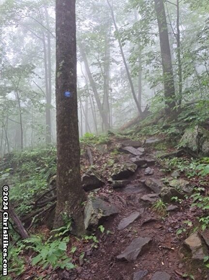
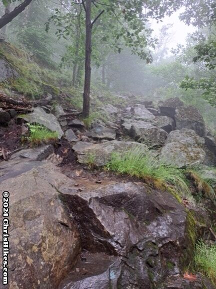
About halfway to the summit the trail starts to ascend and becomes more rocky. In some areas there are rock stairs to help with traversing a steep section. The trail has a few switchbacks that make the ascent (and descent) more manageable. Near the summit there is a short steep area where I had to scramble up the rocks.
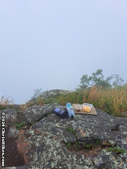
On the loop trail near the summit I went clockwise and first visited the overlook. I sat down near the edge of the cliffs and enjoyed my breakfast. The summit was in the clouds on this day. While I was not able to enjoy the view of mountains in the distance, I did appreciate the serenity of being in the clouds.
I then continued clockwise on the summit loop, first going up some rocky areas then along a dirt trail to reach the summit. There is no view at the summit so make sure to enjoy the views when you are at the overlook!
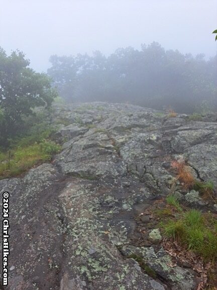
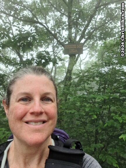
After visiting the summit the loop trail begins to descend and goes across some more rocky areas.
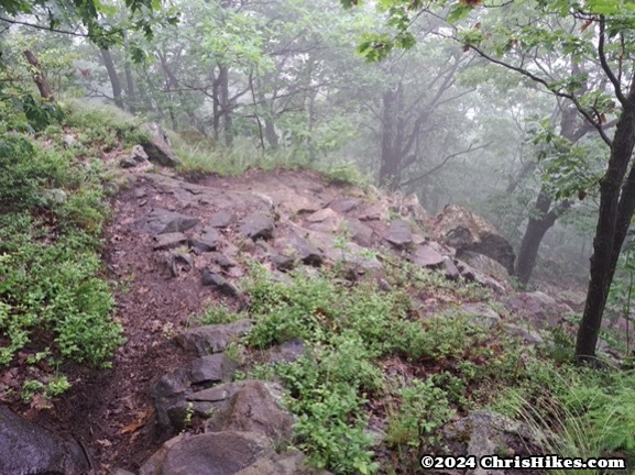
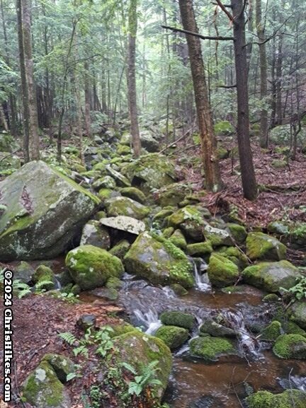
The summit loop then joins back with the main trail. After descending the steep section, the second half of the hike out is back on the easier trail through the woods. There are a couple of small stream crossings, but in this dry weather they were very easy to rock hop across.
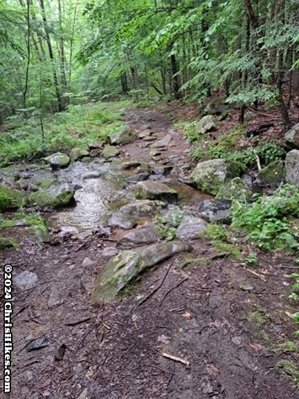
Overall this is a moderate difficulty hike in terms of both distance and terrain. There are short sections that are steep, and a few rocky sections. This is a great Southern Adirondack hike for building up and maintaining hiking ability.