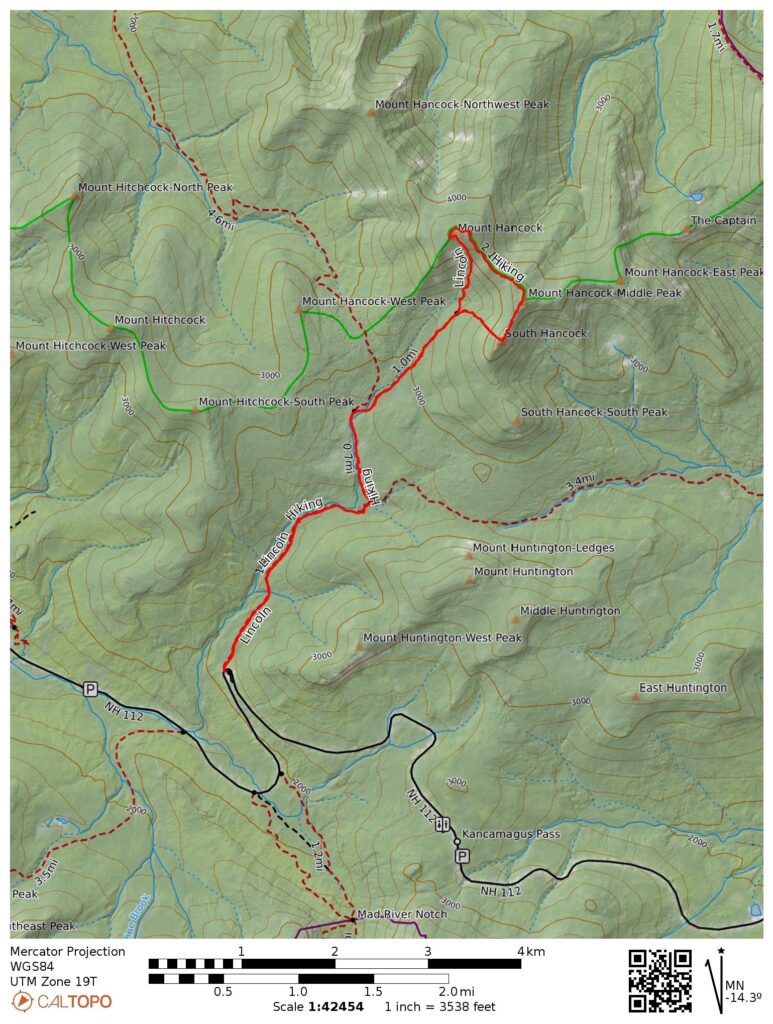
- 9.9 miles round trip
- 2940 feet of ascent
- Link to my hiking route: https://caltopo.com/m/M2VLSR4/LUJMNJ2ESM089BJ7
View my Disclaimer and General Information about Hiking.
After hiking Moosilauke the previous day, I headed to the Kinsman Lodge for a good night’s rest and a wonderful breakfast. The weather forecast was promising for my second day of hiking in New Hampshire: it looked like good hiking weather in the morning and rain starting in the mid to late afternoon. However, the view from my bedroom window showed a gloomy morning and the weather radar already had a green rain blob over the White Mountains. It was time to execute my backup plan: instead of hiking the Osceolas where I would have some open exposure, I would hike the Hancocks where I would stay under tree cover.
I fueled up at breakfast and enjoyed the conversations with the other hikers staying at Kinsman Lodge. Then I headed to the Hancock Overlook parking area on Kancamagus Highway. As the guidebook and the sign in the parking area warn, it is difficult to see oncoming traffic at this road crossing! Thankfully a nice motorist stopped in the hairpin turn to let me safely cross the highway to the start of the trail.
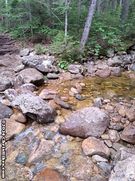
The first section of the trail was almost smooth as a sidewalk. At this point in the day, it was dry and warm enough for me to hike in my t-shirt. I easily crossed the first stream by walking over medium-sized boulders.
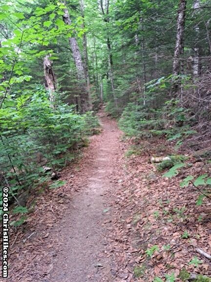
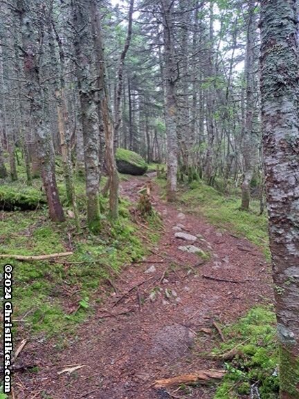
As I continued on the Hancock Notch trail, the terrain varied. At various points it was speckled with boulders, filled with rocks, or had tree roots across the trail.
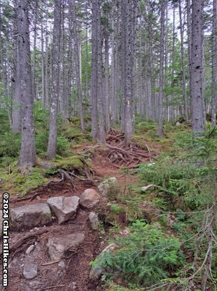
After crossing a few small streams I came to the larger crossing of the North Fork of the Hancock Branch. The stream was low enough to cross on rocks, but I can see how this crossing could be difficult in higher water because there is a large area of flat ground that could become covered in rushing water.
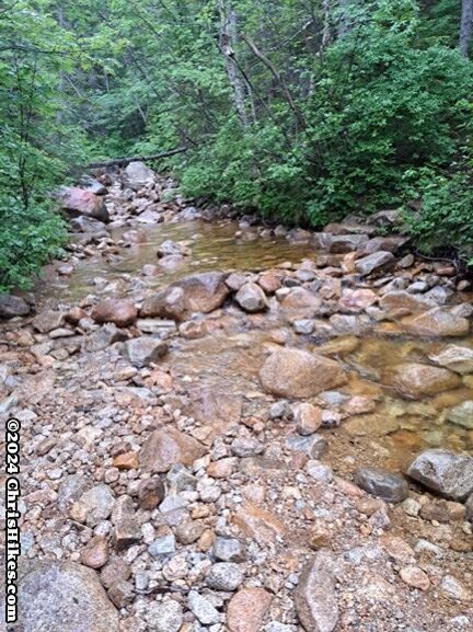
It started raining and I took a break to put on my raincoat and pack cover. After a short distance on the Cedar Brook trail, I took a right turn onto the Hancock Loop trail. Up to this point I had hiked 2.5 miles with only 500 feet of elevation gain. I knew the trail had to start getting steeper! The lower part of the Hancock Loop trail trail was covered with medium-sized boulders and included crossing a small waterfall by walking across these boulders.
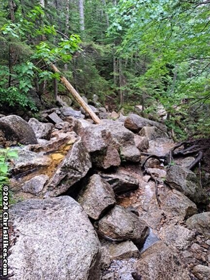
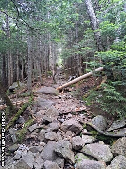
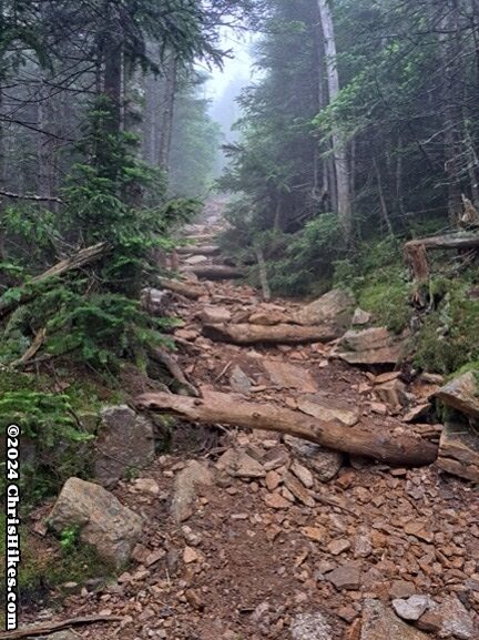
After the waterfall the trail became a bit smoother and gained 600 feet of elevation in the one mile to the loop split. I chose to head to North Hancock first. From the guide book and other reading, I thought this side would be worse to descend, especially in wet conditions, so I chose to do my ascent on the North Hancock side of the loop. In the 0.7 miles to the summit, the trail first drops almost 100 feet of elevation to a gravel area where a stream heads underground, then gains over 1000 feet of elevation. Needless to say, this is a steep hike. There was some trail work to help with the steepness: some areas of rock stairs and other areas with logs placed across the trail to help prevent erosion. I took my time on this section of trail due to both the steep slope and the terrain.
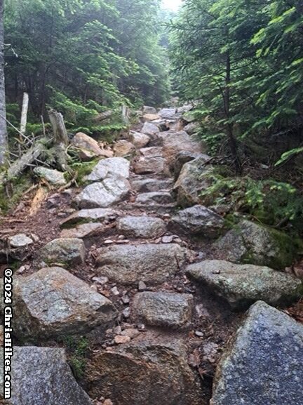
Near the summit of North Hancock there is a side trail to an overlook. On this wet day, all I saw was gray clouds.
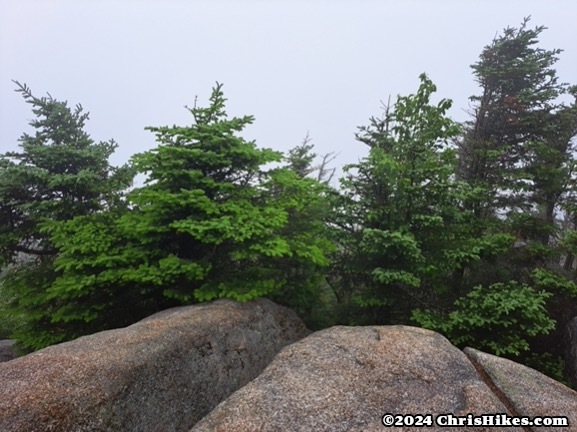
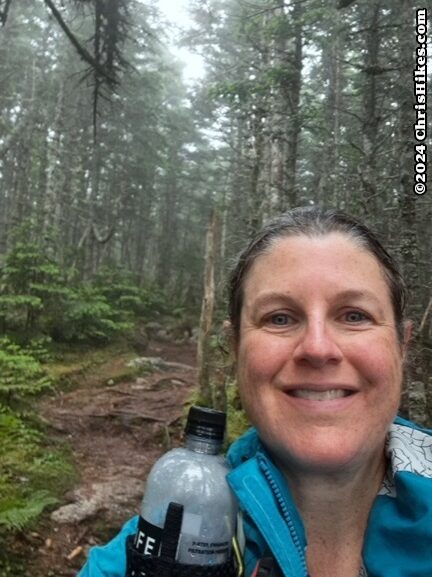
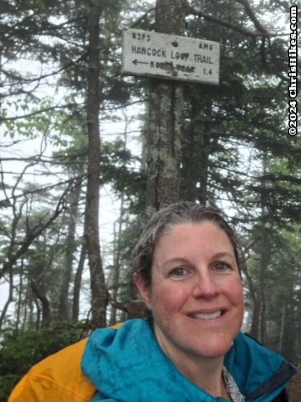
I think the trail junction sign is likely where the summit is because this seemed to be the high point. My GPS placed the summit further down the trail (toward South Hancock) but I was losing elevation on this trail. I took my summit selfie along this trail when I realized I had likely passed the North Hancock summit.
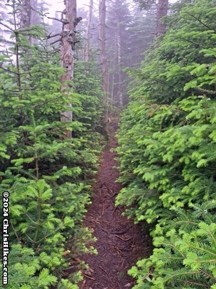
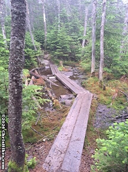
The trail between the two summits was wonderful. It was relatively smooth, had intact bog bridges over muddy areas, and had relatively mild elevation losses and gains. There are at least two minor summits in between North and South Hancock, including one labeled on the map as Middle Hancock. I traversed this 1.4 mile stretch of trail in less than an hour, including a short snack break. The weather introduced some challenges into this part of the hike. It was windy and cold when I was above 4000 feet of elevation. I kept moving to stay warm and to get through this part of the hike as quickly as possible. I definitely made a good decision to stick to a tree-covered hike on this day. I was glad to be wearing my rain pants and raincoat because in some areas the trees were hanging into the trail and rubbing their wet branches against my legs and arms.
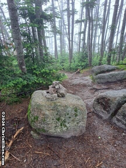
The cairn and trail sign indicated I had reached the summit of South Hancock. There were a few herd paths here that might lead to viewpoints, but I didn’t bother exploring them because they lost elevation and there would be no views from this clouded summit.
I then began the descent from South Hancock, losing 1000 feet of elevation in 0.5 miles. I carefully watched my footing on the descent down loose rocks. In most places I could find a larger, firmly set rock or bare ground to step on. The amount of loose rocks decreased around halfway down the trail and changed to an easier to walk on path.
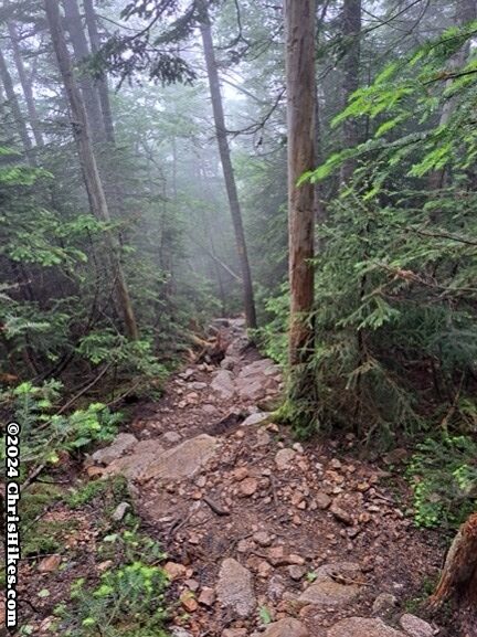
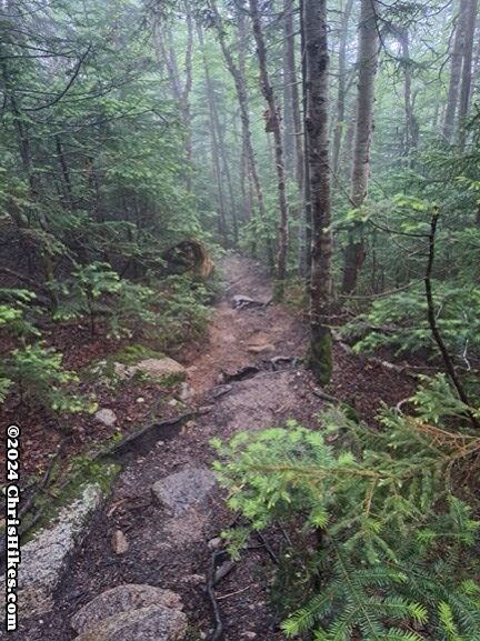
I went as fast as I safely could, and increased my pace as I got closer to my car and the trail became easier and flatter. Thankfully I got off trail before the heavier rain arrived later in the afternoon.
This was a good hike for a day with mediocre weather. It seems like there are a few small views on this hike, so I didn’t miss out on any wonderful views by being clouded in.
There is debate among hikers of what direction to loop around the two peaks. One hiker I talked to on my way in and her way out said she would have preferred to ascend to South Hancock because she found it difficult to come down that trail. Despite her input, I still decided to ascend to North Hancock based on my research. There were hikers going both ways around the peaks when I was there. I think both trails have similar difficulty in terms of terrain and both have areas of loose rocks. A drawback of ascending to South Hancock is that the descent from North Hancock goes into a drainage and you then need to climb around 100 feet back up to join the trail. By descending South Hancock my hike was all downhill from that peak onward.