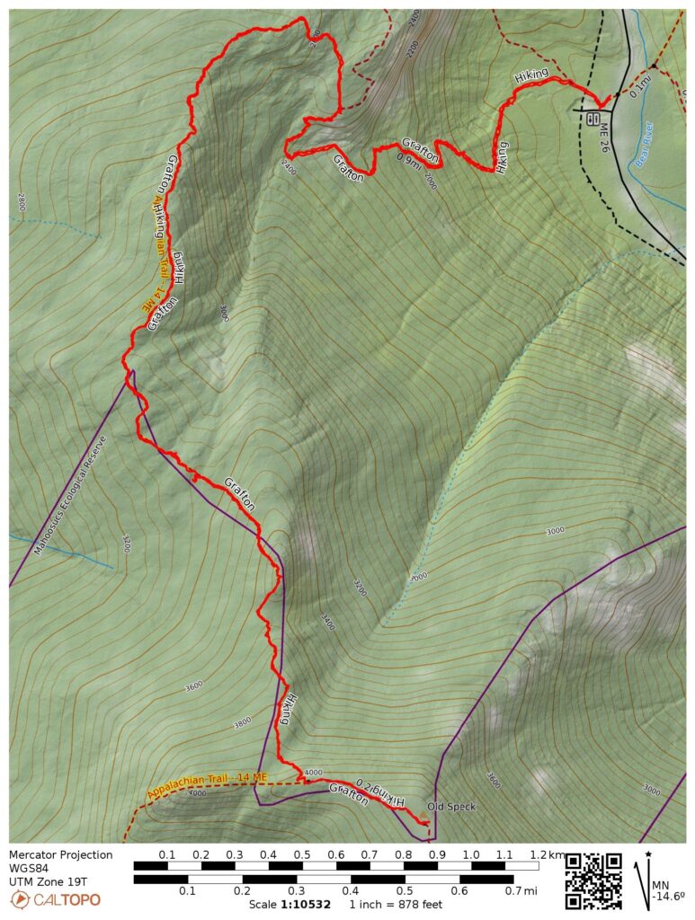
- 7.7 miles round trip
- 3190 feet total ascent
- Link to my hiking route: https://caltopo.com/m/RH32U/JHV057QNLAHCV6TF
View my Disclaimer and General Information about Hiking.
Before driving back to New York State, I grabbed one more Maine peak in the NE111 list with a hike of Old Speck Mountain. The previous two days graced me with amazing weather and gorgeous views so I was due for a hike in the wet weather that is typical in the northeast. I packed up and left the Mountain View Motel in Stratton, looked at the ski slopes on Saddleback Mountain on my drive through Rangeley, and headed to Grafton Notch on the western edge of Maine.
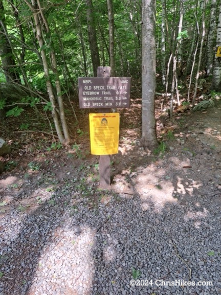
I parked in the lot, dropped $5 for the parking fee into the receptacle (the parking fee was $4 for out-of-state folks, but a $5 bill was the closest I had), and started on the Appalachian Trail southbound toward Old Speck Mountain.
It was sunny, but the forecast warned of thunderstorms during the day. I knew my best option was to move as fast as I can. Which wasn’t too fast on this trail. Of the trails I’ve hiked in Maine, the ascent part of this trail was most similar to the rugged Adirondack trails back home. There were some areas of rock stairs, but much of the ascent was up jumbles of rocks and rock slabs.
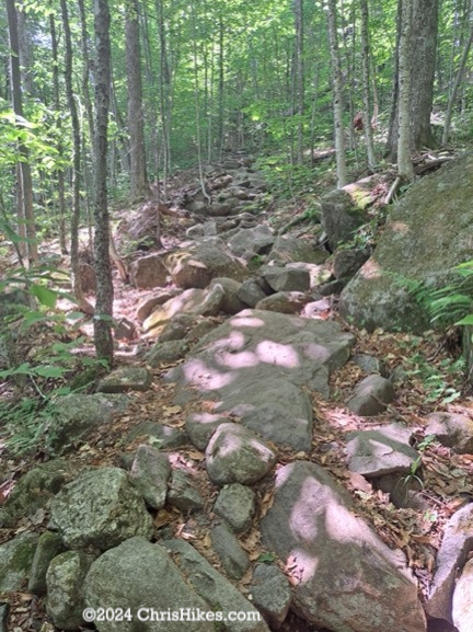
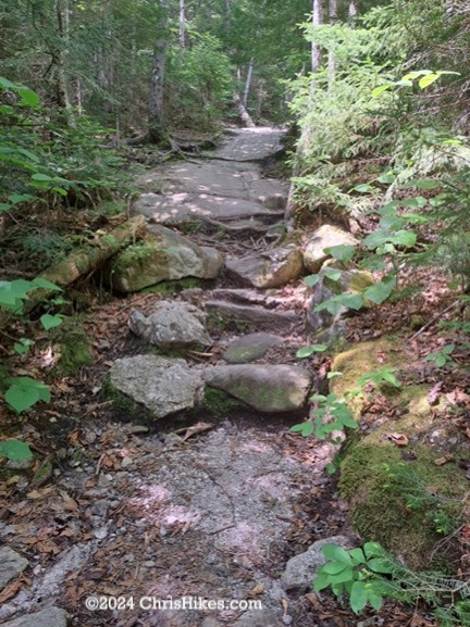
The first mile of the hike was fairly steep, ascending 1000 feet. Parts of the trail were along a steam, with views of a couple of beautiful waterfalls. I saw a lady slipper flower in this area!
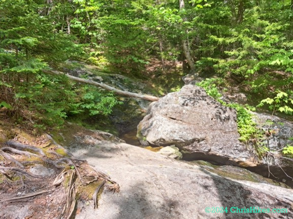
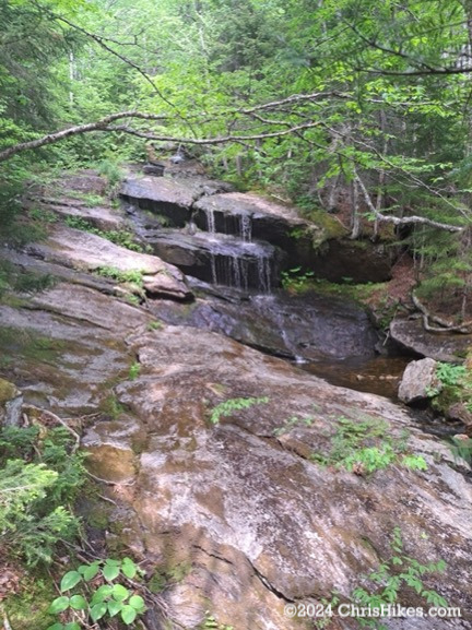
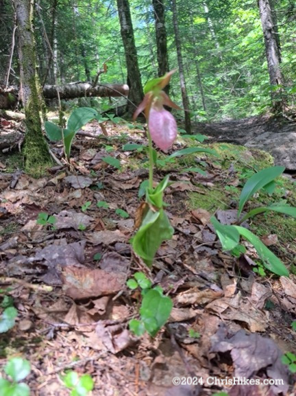
I ascended another 500 feet in the next half mile, then the trail leveled out a bit. Openings in the trees on high points allowed me views of Old Speck Mountain.
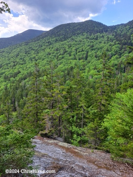
I enjoyed this portion of the hike. Some of the trail was smooth, passing on top of bedrock. In other areas I had to step carefully around roots that grew across the trail. There were multiple ups and downs with small scrambles, again reminding me of an Adirondack trail.
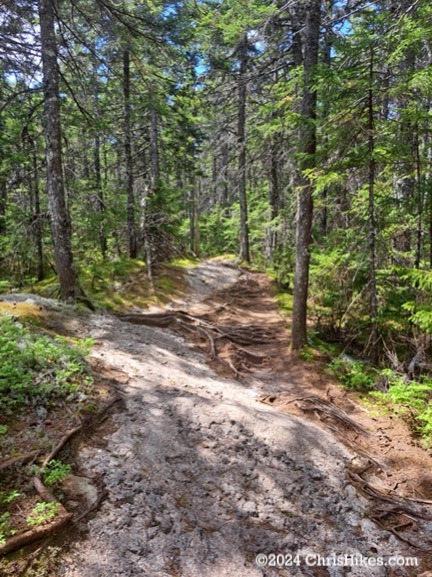
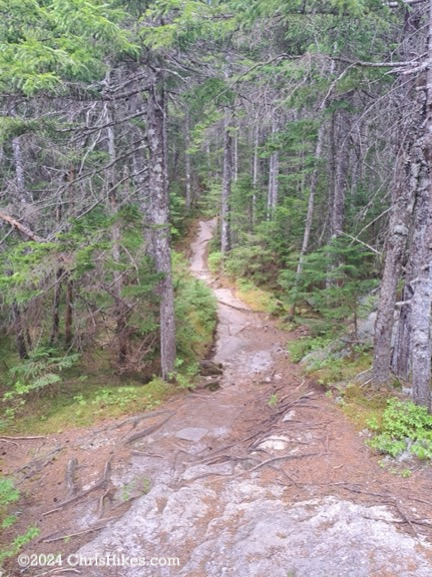
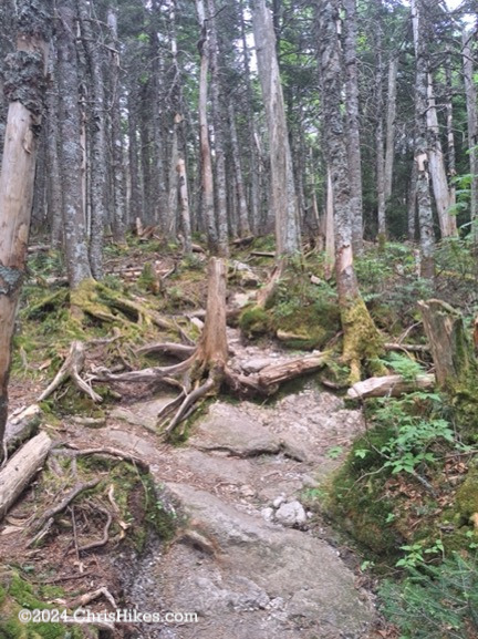
As I hiked along this tree-covered ridge, I heard thunder rumbling in the distance. I had cell service at some points and was able to check the radar and see storms to the north that were slowly moving in my direction. I debated whether to continue or turn back, and decided to continue to the summit as long as the storms stayed farther away. After a short scramble, I reached the junction with the spur trail that leaves the AT and heads to the summit of Old Speck Mountain. This 0.3 mile trail had little elevation gain and quickly guided me to the summit.
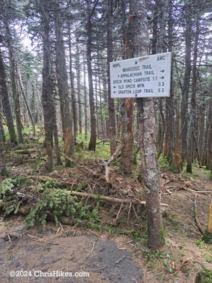
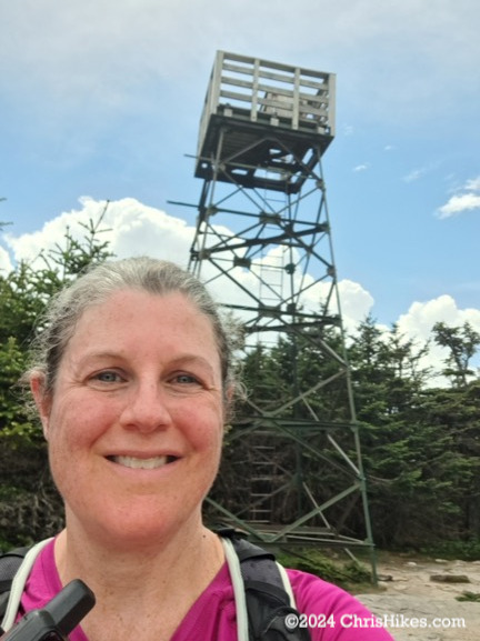
While I am a fan of fire towers, I did not climb up the tower on Old Speck Mountain. The tower platform is accessed by climbing a straight ladder and I do not like climbing ladders. I especially don’t like climbing metal ladders when I hear thunder rumbles! I also suspected storms were heading my way and knew it would be best to get to lower elevation soon. So I took my summit selfie, enjoyed the limited view through a gap in the trees, and started my hike back to the car.
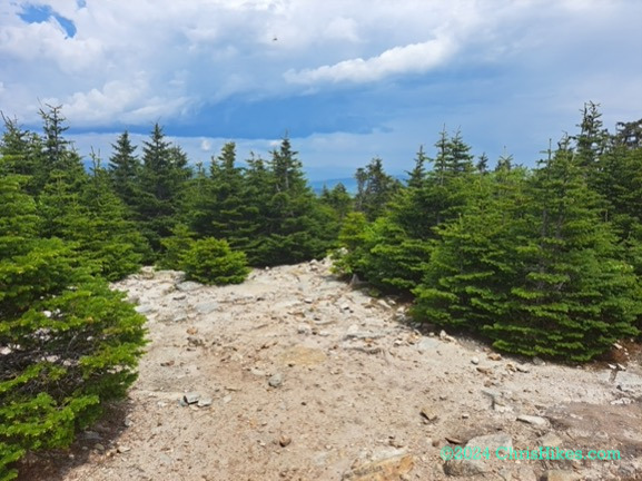
The best view I had near the summit was after joining back with the AT (now heading northbound) at the point above the small scramble near the top of the mountain. I could see the clouds building to the north and continued to hear thunder rumbling.
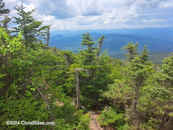
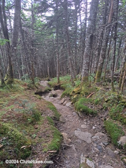
I descended as quickly as I could while watching my footing on the rugged trail. A few groups of hikers passed me on their way up the mountain as the thunder grew louder. At around the 3500 foot elevation point I found a good spot to duck off trail for a potty break and it started to as I was getting ready to continue my hike. I put on my rain coat, put my phone away in my pack, and put on the pack’s rain cover. Soon the rain was coming down hard. I had taken one last photo before the rain. Because the trail in this area is often lower than the surrounding ground it quickly became filled with rain water. I was now hiking in a running stream!
There were some flashes of lightning quickly followed by a clap of thunder telling me the storm was close. I drew my hands closer to my body to protect them from the pea sized hail, while continuing my trek down the mountain. Thankfully, the rock slabs on this part of the trail continued to be grippy even when wet. I felt a bit chilled from the rain and knew I needed to keep hiking to keep my body temperature up. The rain became lighter as I reached the steep part of the descent. I slipped on some of the wet rock steps in this area, they must be a different type of rock than higher up.
As I neared the parking area the rain became heavier again. I quickly dropped my backpack into the back of my car and climbed into the backseat where I could change out of my wet clothes. I didn’t bother bringing rain pants for this short hike so my pants were soaking wet. Rain got inside my rain coat, largely by running down my arm on the side I was holding my trekking pole, so my shirt was also wet.
This might be the first time I’ve been up on a mountain when a thunderstorm rolled in. Once I made the decision to keep hiking despite the risk of storms, I didn’t ever feel scared. I’m glad I was well off the summit before the storm started. This was a good learning experience for me to see that I’m okay when I get soaking wet, at least on a warm day when I am close to the car.