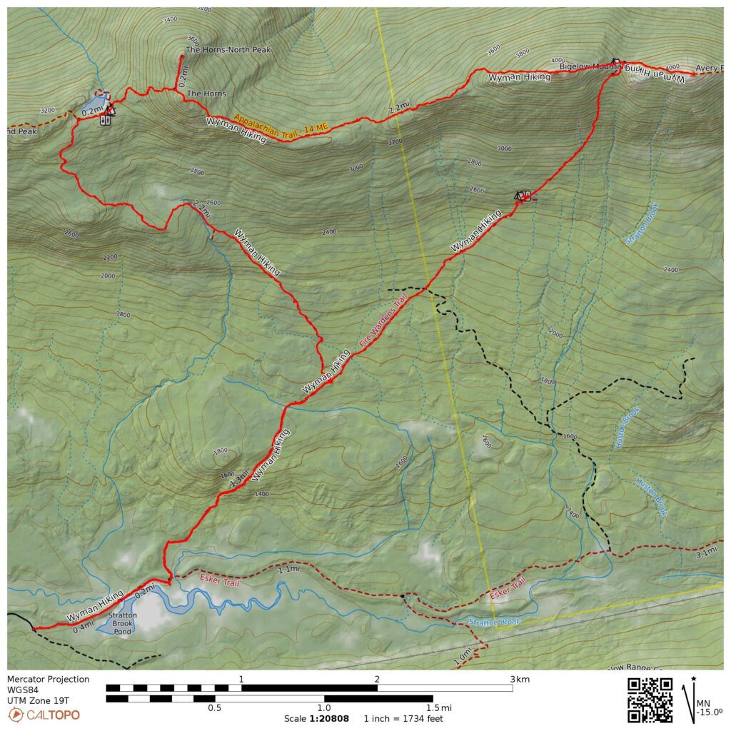
- 14.2 miles round-trip
- 4120 ft total ascent
- Link to my hiking route: https://caltopo.com/m/DJ4N9/4KV3UDD8CBGKP13N
View my Disclaimer and General Information about Hiking.
I spent months planning and dreaming about this trip to hike in Maine. My college reunion was in Boston and I decided to add on a few days of hiking in Maine. I got lucky and had a couple of days of amazing weather allowing me to hike to summits above treeline. My first hike on this trip was the Bigelow Range, checking off Avery and West peaks from my NE111 list.
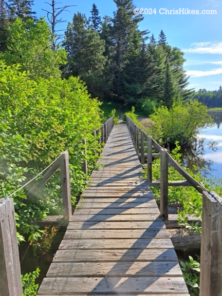
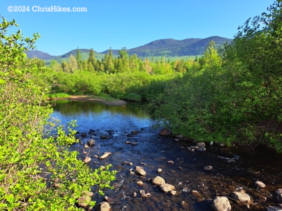
I parked at the Stratton Brook trailhead at the end of Stratton Brook road off of Highway 27. The first few miles of the trail were an easy walk through the woods. From the wooden bridge crossing the outlet of Stratton Brook Pond I had nice views of the west side of the Bigelow range and of Sugarloaf Mountain.

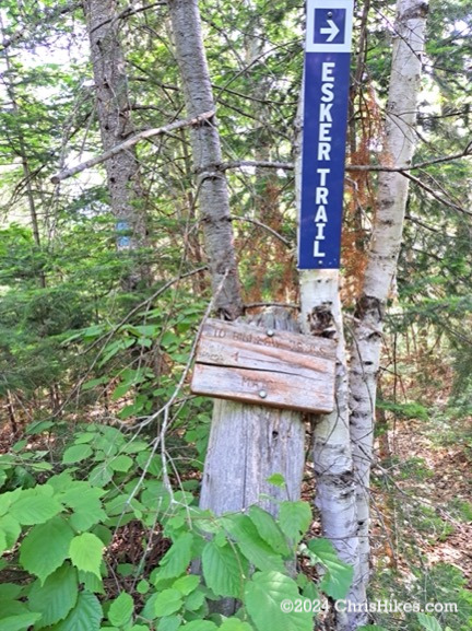
After passing a campsite on the right side of the trail, I saw the first (very worn) sign directing me left to stay on the trail to the Bigelow range and a much newer sign indicating the Esker trail is to the right.
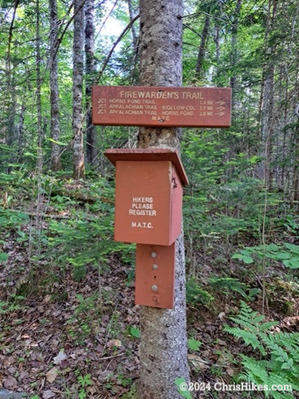
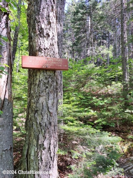
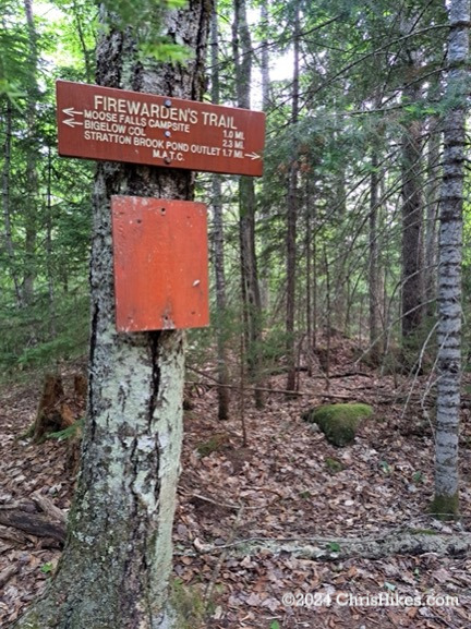
Soon after this junction I reached the registration box and the first good sign for the Firewarden’s trail and the Bigelow Range. After putting my registration card in the box I continued on the relatively easy Firewarden’s trail that is marked with blue blazes. In the 1.4 miles before the junction with the Horns Pond trail there was a small ascent then the trail remained fairly level.
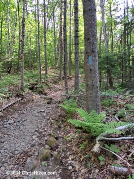
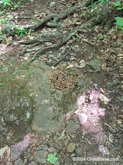
At the junction with the Horns Pond trail I went right to stay on the Firewarden’s trail. Before reaching the Moose Falls Campsite I filled up three liters of water at a stream and saw the first of many piles of moose scat! I never saw a moose on the trail but did see many piles of moose scat of varying freshness. Around the Moose Falls Campsite I saw a deer running off into the woods but did not get a picture of it.
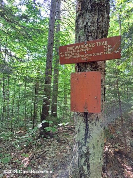
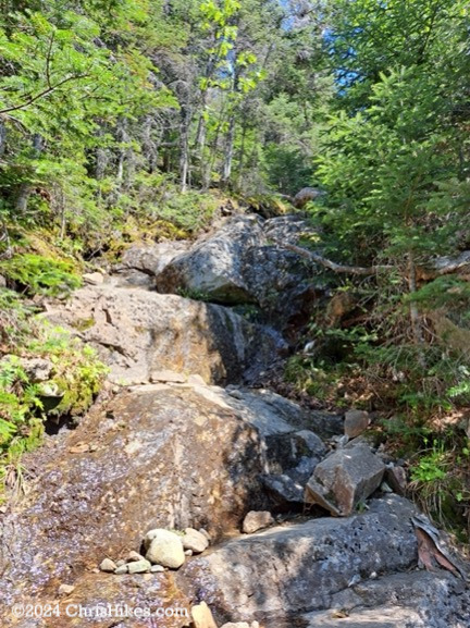
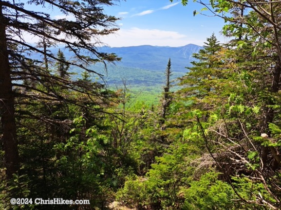
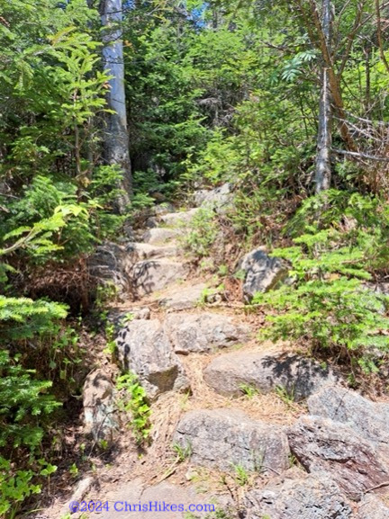
Immediately after passing the Moose Falls Campsite on the left I reached the steep section of the Firewarden’s Trail. Leaving the campsite, I scrambled up a rock slide then ascended multiple series of rock stairs. Some of the stairs have small steps that are fairly evenly placed while others are a series of larger boulders to step up. Looking back through openings in the trees I could view Sugarloaf mountain to the south. This section of the trail is steep and I took my time ascending with frequent breaks to catch my breath and let my heart rate slow down. The trail is well constructed and maintained with the steps providing good footing along the steep trail.
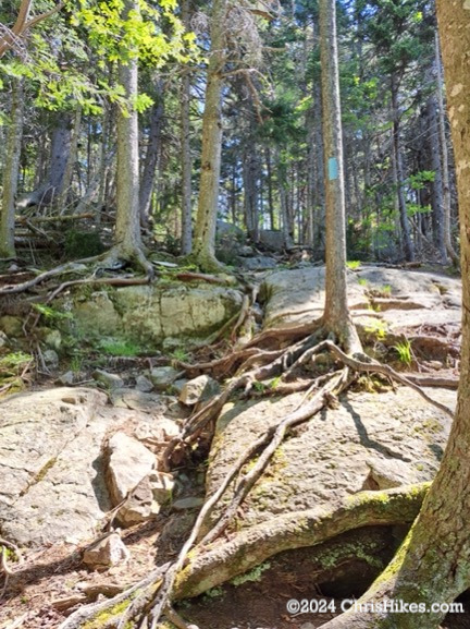
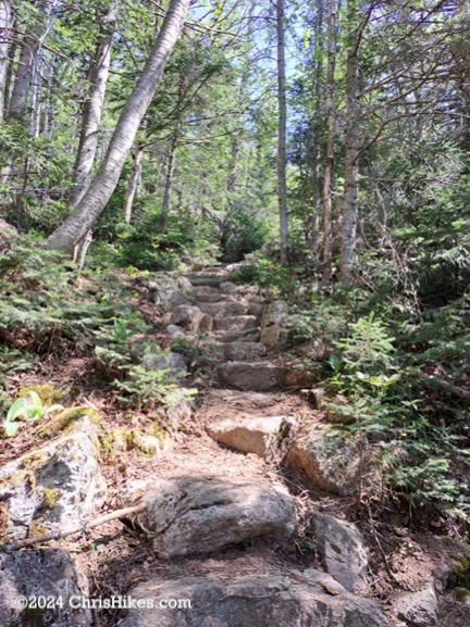
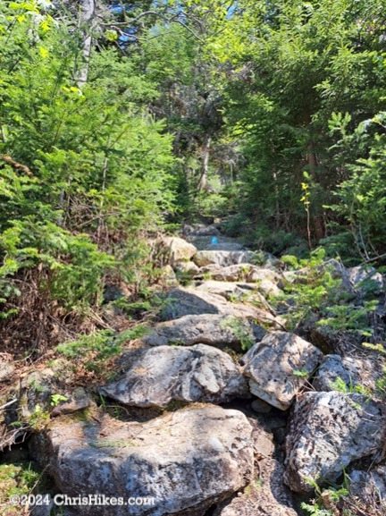
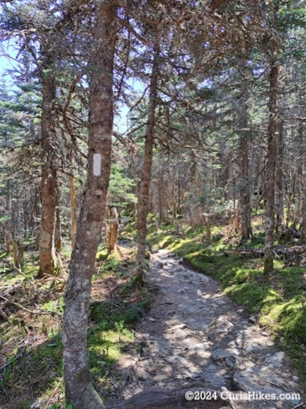
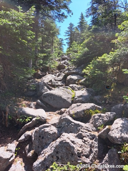
As I reached the col between West and Avery peaks I passed the many tent platforms in the Myron H. Avery campsite. I did not see any people there but can imagine it fills up later in the summer when the bubble of Appalachian Trail thru-hikers arrive. The Firewarden’s Trail ended at the junction of the Appalachian Trail and I turned right to take the white blazed AT northbound trail to Avery peak. This trail quickly turned into a scramble up boulders to reach Avery Peak.
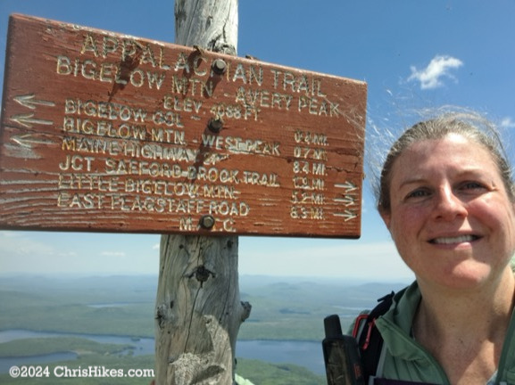
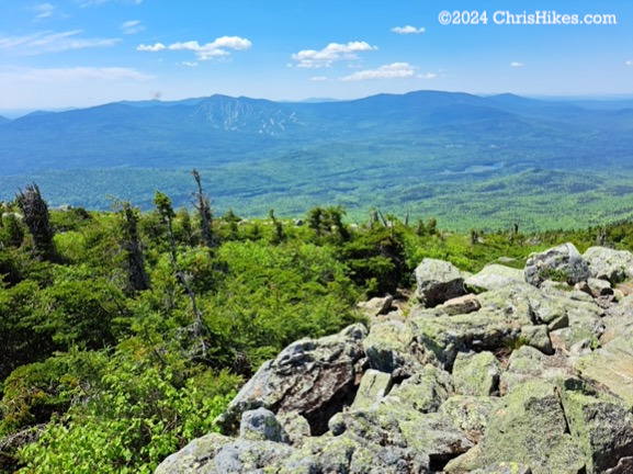
Avery Peak has two points of prominence: one with the summit sign and one with the foundation of the former fire observation tower. In order to not face the wrath of the bees living in the summit sign, I quickly took my picture then wandered over toward the fire tower foundation. There are views in all directions on this summit: south toward Sugarloaf and the Crockers, north with a view of Flagstaff Lake, and east and west along the Bigelow range.

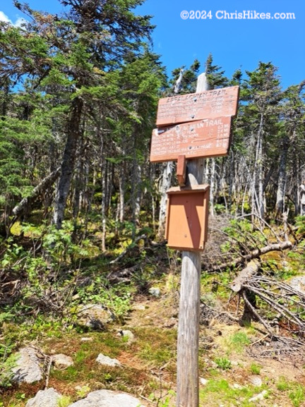
I rested for a few minutes near the fire tower foundation and ate a snack before the black flies, deer flies, mosquitoes, and bees could eat much of me. Then it was time to turn around and take AT southbound back to the col. The large and widely spaced boulders on this part of the trail are terrain I do not enjoy hiking. I have to carefully plan each step to safely reach a flat enough area to stand on the next boulder. Thankfully this was a short section of trail and I was soon back into the col. I passed the sign for the junction with the Firewarden’s Trail then began the ascent up West Peak. There were some sections of steps and small boulders on the ascent.
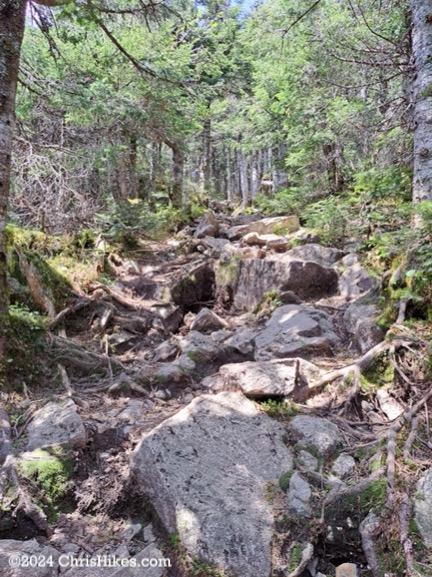
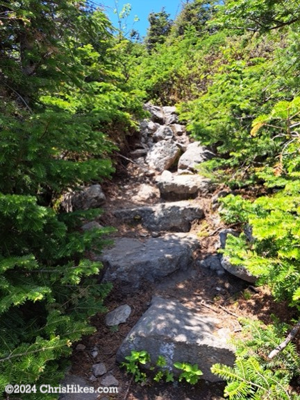
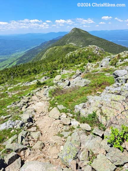
The summit of West Peak provides another point with 360-degree views. I looked back toward Avery Peak and the east side of the Bigelow Range, and forward toward The Horns. On West Peak I enjoyed a snack and encountered my first other human of the day: a northbound AT hiker who started his hike in Georgia in mid-February. After commiserating over the swarming black flies and wishing him well, I continued on the AT southbound and began my descent from West Peak.
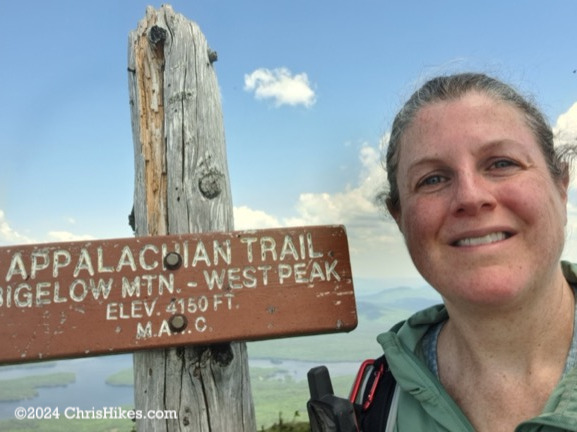
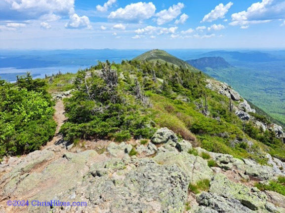
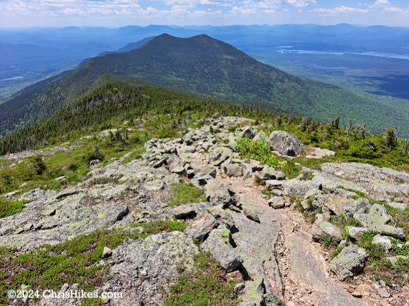
The col between West Peak and South Horn was a pine forest with a fairly smooth trail. Two more northbound AT hikers passed me in this section. They began their hike in Georgia in January. While I was taking a break, the caretaker for the Horns Pond campsite passed me while she was heading back toward the campsite after her patrol of the trail. This was a busy section of trail! The ascent up to South Horn had some small boulders but was a relatively easy trail.
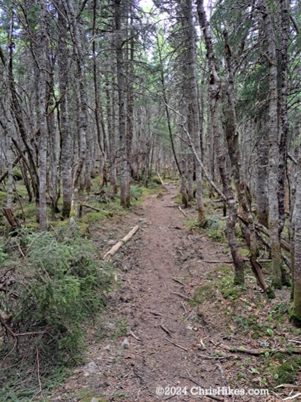
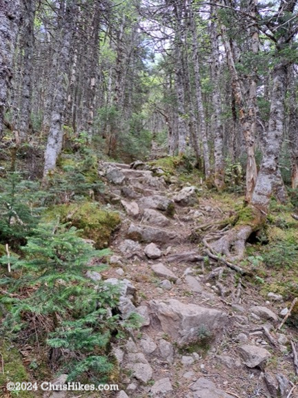
Although the guide book had indicated the summit of South Horn was enclosed in trees, I found there were views of West Peak toward the East and of Horns Pond and the western side of the Bigelow Range.
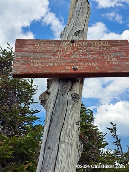
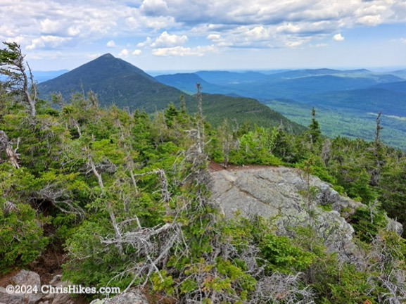
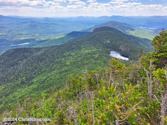
I was enjoying the wonderful weather and decided to take the quarter mile spur trail out to North Horn. Most of this trail was an easy hike, although there is a small scramble to get onto the summit rock. I reached my third 360-degree view summit of the day and fully appreciated the amazing views this range provides. I looked back at West Peak and out to the south with a view of Horns Pond nearby and Stratton Pond in the distance.
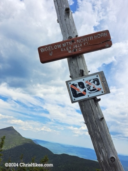
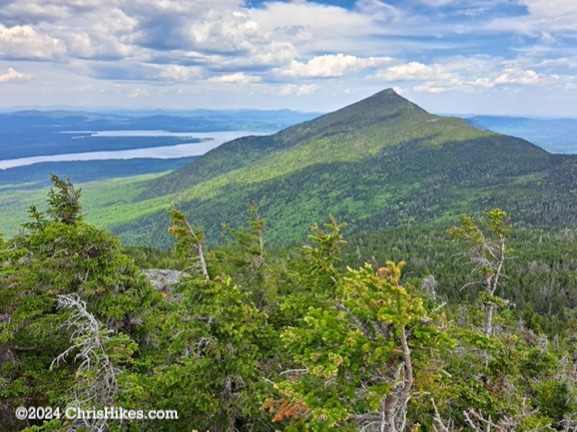
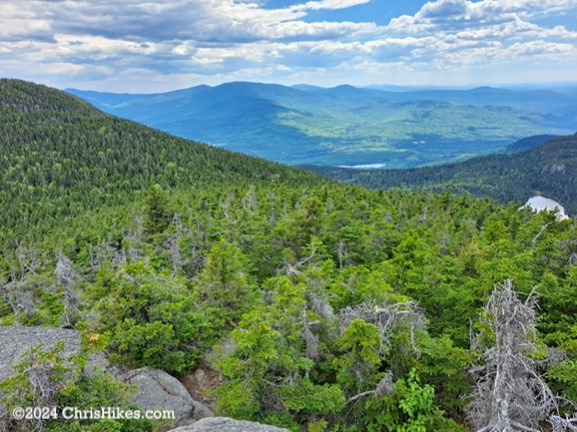
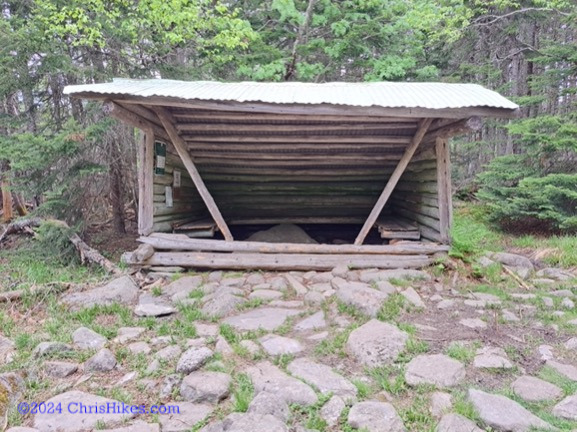
I headed back to the AT and turned right to continue on AT southbound to the Horns Pond campsite. The lean-to at Horns Pond is designated for day use only and there are a number of tent sites in this area. I passed the spur trail to the pond thinking that I would have views of the pond further down the AT. Unfortunately, my only views of the pond were filtered through the trees. I wish I had taken the spur trail to the edge of the pond, but I was getting tired at this point in the hike and still had many miles before I would be back at my car. After passing through the campsite I reached the junction with the Horns Pond trail and turned left to begin my descent from the ridge.
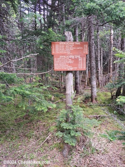
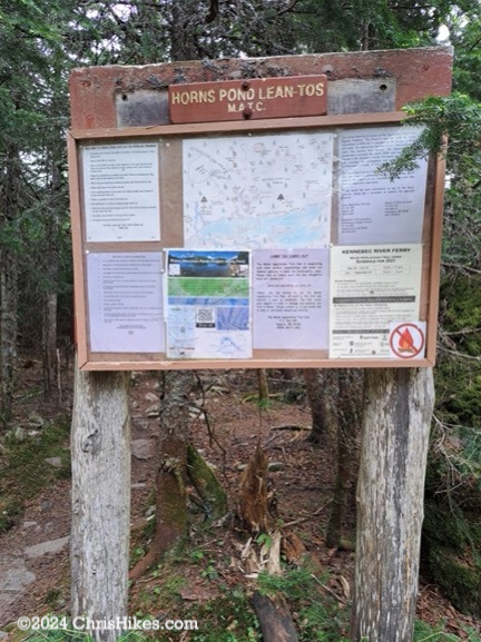
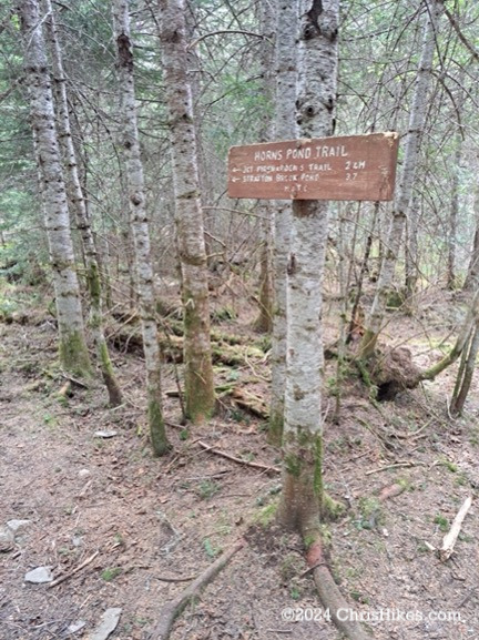
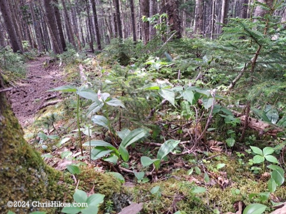
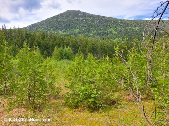
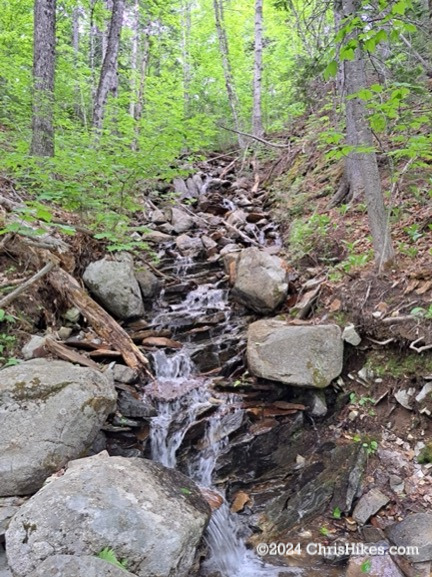
As indicated in the guide book, the slope of the Horns Pond trail is much more gentle than that of the Firewarden’s trail. This was a nice hike through the woods with patches of painted trillium, a view through a clearing up to South Horn, and crossings of a few small streams with water tumbling down from the ridge. I saw many more piles of moose scat along this trail, including some that looked quite fresh. When I reached the junction with the Firewarden’s Trail I knew I had a relatively easy 2 and some mile hike left to reach my car.
Avery and West peaks were #4 and #5 of my Maine high peaks and #66 and #67 of my NE111. The amazing weather helped to make this a very enjoyable hike and allowed me to have wonderful views from the summits. While the Firewarden’s Trail is a steep ascent, the nicely maintained trail provides good footing. Other than the short section of boulders on the west side of Avery Peak, I found this to be a relatively straightforward trail to hike.